Approximate Location Map
Large Map »
Latitude: 51.4147 / 51°24'52"N
Longitude: -1.5199 / 1°31'11"W
OS Eastings: 433482
OS Northings: 168513
OS Grid: SU334685
Mapcode National: GBR 706.6JS
Mapcode Global: VHC1S.LPVW
Plus Code: 9C3WCF7J+V2
Entry Name: 29, Church Street
Listing Date: 8 June 1984
Grade: II
Source: Historic England
Source ID: 1290423
English Heritage Legacy ID: 395161
ID on this website: 101290423
Location: Hungerford, West Berkshire, RG17
County: West Berkshire
Civil Parish: Hungerford
Built-Up Area: Hungerford
Traditional County: Berkshire
Lieutenancy Area (Ceremonial County): Berkshire
Church of England Parish: Hungerford with Denford
Church of England Diocese: Oxford
Tagged with: Building
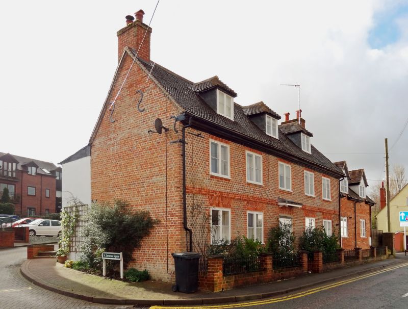
HUNGERFORD CHURCH STREET (South Side)
SU 3368
18/31 No.29
10.9.51
II
House. Early C18. Tiled roof with flanking chimneys, rendered brick.
2 storeys and attic. 3 hipped dormers, five 2 light casements with
leaded lights and rendered brick architraves. Central C20 door under
flat hood. Rear has gabled projecting staircase tower.
Listing NGR: SU3348268513
External links are from the relevant listing authority and, where applicable, Wikidata. Wikidata IDs may be related buildings as well as this specific building. If you want to add or update a link, you will need to do so by editing the Wikidata entry.


Other nearby listed buildings
