Approximate Location Map
Large Map »
Latitude: 50.3351 / 50°20'6"N
Longitude: -4.6364 / 4°38'10"W
OS Eastings: 212478
OS Northings: 51677
OS Grid: SX124516
Mapcode National: GBR N6.X8WV
Mapcode Global: FRA 1854.X5Q
Plus Code: 9C2Q89P7+2F
Entry Name: 26-30, Lostwithiel Street
Listing Date: 11 March 1974
Grade: II
Source: Historic England
Source ID: 1290434
English Heritage Legacy ID: 395113
ID on this website: 101290434
Location: Fowey, Cornwall, PL23
County: Cornwall
Civil Parish: Fowey
Built-Up Area: Fowey
Traditional County: Cornwall
Lieutenancy Area (Ceremonial County): Cornwall
Church of England Parish: Fowey
Church of England Diocese: Truro
Tagged with: Building
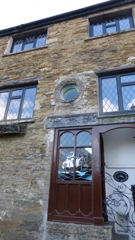
FOWEY
1. LOSTWITHIEL STREET
1584A (North Side)
Nos 26 to 30 (even)
SX 15 SW 2/125
II GV
2.
C18/early C19. Stone rubble No 30 painted. Built on rock foundation
exposed to street. 2 storeys 4 windows mostley sashes without glazing
bars casements and sash with glazing bars to No 30. Slate steps up to
recessed doorways panelled doors. Slate roof with gable ends.
Nos 24 to 30 (even) form a group.
Listing NGR: SX1247951680
External links are from the relevant listing authority and, where applicable, Wikidata. Wikidata IDs may be related buildings as well as this specific building. If you want to add or update a link, you will need to do so by editing the Wikidata entry.


Other nearby listed buildings
