Approximate Location Map
Large Map »
Latitude: 53.5688 / 53°34'7"N
Longitude: -2.8839 / 2°53'2"W
OS Eastings: 341558
OS Northings: 408387
OS Grid: SD415083
Mapcode National: GBR 8W95.FD
Mapcode Global: WH86H.NKXF
Plus Code: 9C5VH498+GC
Entry Name: The Elms, with Associated Front Garden Wall
Listing Date: 11 August 1972
Grade: II
Source: Historic England
Source ID: 1297313
English Heritage Legacy ID: 386387
ID on this website: 101297313
Location: Ormskirk, West Lancashire, L39
County: Lancashire
District: West Lancashire
Electoral Ward/Division: Scott
Parish: Non Civil Parish
Built-Up Area: Ormskirk
Traditional County: Lancashire
Lieutenancy Area (Ceremonial County): Lancashire
Church of England Parish: Ormskirk St Peter and St Paul
Church of England Diocese: Liverpool
Tagged with: Architectural structure
SD4108SE
663-1/8/150
ORMSKIRK
DERBY STREET
(North side)
No.5
The Elms, with associated front garden wall
GV
II
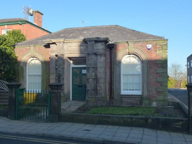
House, now surgery. Mid C19; altered, and renovation in
progress at time of survey. Red brick in Flemish bond with
some sandstone dressings and hipped roof. L-plan, with short
projecting wing to left. Two storeys, 1:2 windows. The main
range has a round-headed doorway in the angle (left side of
arch dying into side of wing), with gauged brick head and
keystone, and a recessed porch with moulded wooden doorcase; a
small round-headed window above the doorway, a large
tripartite window to the right (a formerly iron verandah
protecting this now missing, and a flat-arched brick head
under construction at time of survey), and above this a
top-hung casement imitating a 4-pane sash, with a flat-arched
head and keystone. The gable of the wing has a similar window
at 1st floor, a canted bay window at ground floor, and a
pedimented gable. Front garden wall of coursed squared
sandstone with rounded coping, approx. one-and-a-half metres
high, and with a concave curve to gate piers at the right-hand
end. Forms group with No.5A to the right (q.v.).
Listing NGR: SD4155808387
External links are from the relevant listing authority and, where applicable, Wikidata. Wikidata IDs may be related buildings as well as this specific building. If you want to add or update a link, you will need to do so by editing the Wikidata entry.


Other nearby listed buildings
