Approximate Location Map
Large Map »
Latitude: 51.856 / 51°51'21"N
Longitude: 0.2506 / 0°15'2"E
OS Eastings: 555094
OS Northings: 219879
OS Grid: TL550198
Mapcode National: GBR MF1.Q5L
Mapcode Global: VHHLX.9MC2
Plus Code: 9F32V742+97
Entry Name: The Shambles
Listing Date: 8 August 1985
Grade: II
Source: Historic England
Source ID: 1299300
English Heritage Legacy ID: 353598
ID on this website: 101299300
Location: Bush End, Uttlesford, Essex, CM22
County: Essex
District: Uttlesford
Civil Parish: Hatfield Broad Oak
Traditional County: Essex
Lieutenancy Area (Ceremonial County): Essex
Church of England Parish: Bush End St John Evangelist
Church of England Diocese: Chelmsford
Tagged with: Architectural structure Thatched cottage
TL 51 NE HATFIELD BROAD OAK BUSH END
4/44 The Shambles
GV II
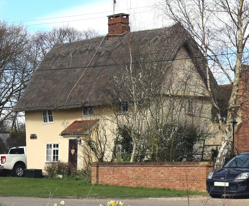
House. Early C17. Timber framed and plastered. Of 2 storeys with gabled
thatched roof and central ridge-line stack. C20 lean-to central porch and C19
casements with cross pattern of glazing bars to each light. Slated rear lean-to
and gable pentice board.
Listing NGR: TL5509419879
External links are from the relevant listing authority and, where applicable, Wikidata. Wikidata IDs may be related buildings as well as this specific building. If you want to add or update a link, you will need to do so by editing the Wikidata entry.


Other nearby listed buildings
