Approximate Location Map
Large Map »
Latitude: 51.7832 / 51°46'59"N
Longitude: 0.1415 / 0°8'29"E
OS Eastings: 547815
OS Northings: 211565
OS Grid: TL478115
Mapcode National: GBR LDK.0MJ
Mapcode Global: VHHM7.DFNT
Plus Code: 9F32Q4MR+7H
Entry Name: Gateway to Hill House
Listing Date: 19 June 1981
Grade: II
Source: Historic England
Source ID: 1306487
English Heritage Legacy ID: 119510
ID on this website: 101306487
Location: Churchgate Street, Harlow, Essex, CM17
County: Essex
District: Harlow
Electoral Ward/Division: Old Harlow
Parish: Non Civil Parish
Built-Up Area: Harlow
Traditional County: Essex
Lieutenancy Area (Ceremonial County): Essex
Church of England Parish: Harlow St Mary and St Hugh with St John the Baptist
Church of England Diocese: Chelmsford
Tagged with: Gate
1.
5216
TL 4711 NE
6/12
MULBERRY GREEN
(south side)
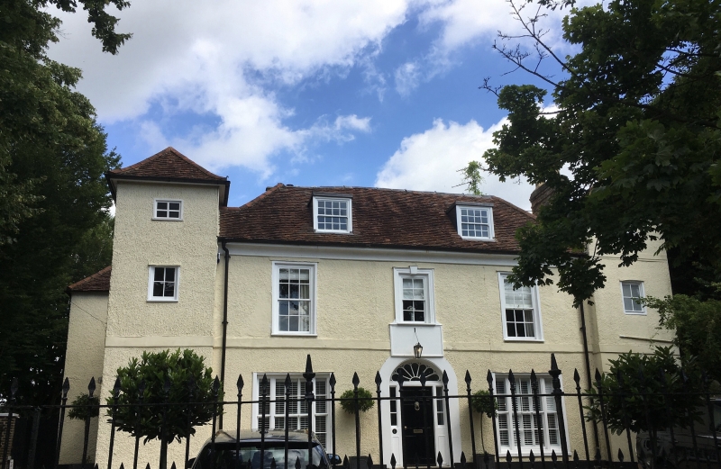
Gateway to Hill House
II
GV
2.
Late C18 wooden gateway with 2 Tuscan columns and square opening, formerly
giving access to a covered front entrance.
Listing NGR: TL4781511565
External links are from the relevant listing authority and, where applicable, Wikidata. Wikidata IDs may be related buildings as well as this specific building. If you want to add or update a link, you will need to do so by editing the Wikidata entry.


Other nearby listed buildings
