Approximate Location Map
Large Map »
Latitude: 54.6627 / 54°39'45"N
Longitude: -2.7506 / 2°45'2"W
OS Eastings: 351677
OS Northings: 529998
OS Grid: NY516299
Mapcode National: GBR 9G7J.9B
Mapcode Global: WH81B.Q2C9
Plus Code: 9C6VM67X+3P
Entry Name: 30, 30A and 31, King Street
Listing Date: 26 July 1982
Grade: II
Source: Historic England
Source ID: 1312022
English Heritage Legacy ID: 72883
ID on this website: 101312022
Location: Penrith, Westmorland and Furness, Cumbria, CA11
County: Cumbria
District: Eden
Civil Parish: Penrith
Built-Up Area: Penrith
Traditional County: Cumberland
Lieutenancy Area (Ceremonial County): Cumbria
Church of England Parish: Penrith St Andrew
Church of England Diocese: Carlisle
Tagged with: Building
1.
5165 KING STREET
(west side)
Nos 30, 30A and 31
NY 5130 1/125 26.7.82
II
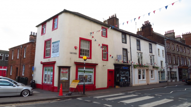
2.
Early C19. Painted ashlar, 3 storeys, hipped roof over curved corner. Two
small shop fronts, and panelled door to the flat above (No 30A). First floor
has 3 sash windows, the top floor has 2 sashes, all with glazing bars.
Curved corner has one window.
Listing NGR: NY5167729998
External links are from the relevant listing authority and, where applicable, Wikidata. Wikidata IDs may be related buildings as well as this specific building. If you want to add or update a link, you will need to do so by editing the Wikidata entry.


Other nearby listed buildings
