Approximate Location Map
Large Map »
Latitude: 50.2136 / 50°12'48"N
Longitude: -5.4805 / 5°28'49"W
OS Eastings: 151784
OS Northings: 40640
OS Grid: SW517406
Mapcode National: GBR DXV3.VSK
Mapcode Global: VH12D.YWJN
Plus Code: 9C2P6G79+CQ
Entry Name: 26, Fore Street
Listing Date: 22 December 1972
Grade: II
Source: Historic England
Source ID: 1312596
English Heritage Legacy ID: 68994
ID on this website: 101312596
Location: St Ives, Cornwall, TR26
County: Cornwall
Civil Parish: St. Ives
Built-Up Area: St Ives
Traditional County: Cornwall
Lieutenancy Area (Ceremonial County): Cornwall
Church of England Parish: St Ives
Church of England Diocese: Truro
Tagged with: Building
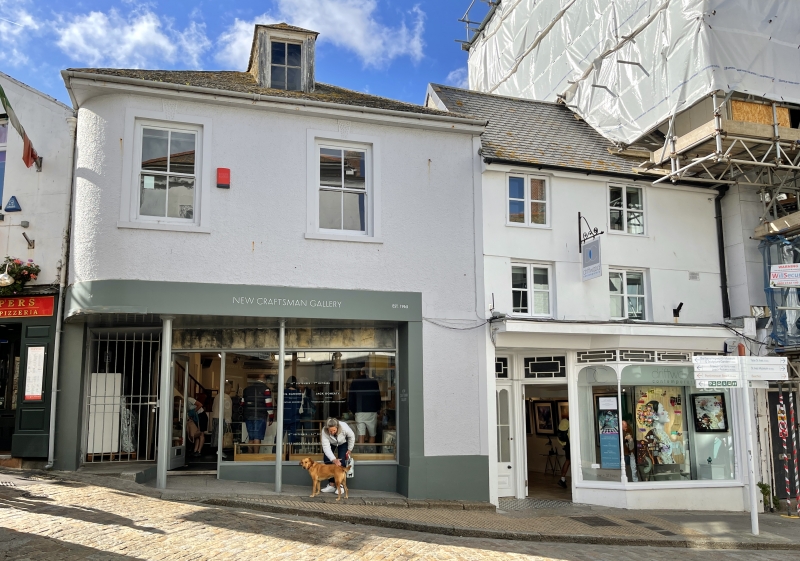
FORE STREET
1. (West Side)
1587 -----------
No 26
SW 54 SW 1/74
II GV
2.
Probably C18. Stucco, Three storeys. Two windows, small modern two-
light casements, Large projecting Victorian shop front. Slurried slate
roof with gable end, Group value.
Nos 24 and 26 form a group.
Listing NGR: SW5178440640
External links are from the relevant listing authority and, where applicable, Wikidata. Wikidata IDs may be related buildings as well as this specific building. If you want to add or update a link, you will need to do so by editing the Wikidata entry.


Other nearby listed buildings
