Approximate Location Map
Large Map »
Latitude: 54.4019 / 54°24'6"N
Longitude: -1.7391 / 1°44'20"W
OS Eastings: 417033
OS Northings: 500747
OS Grid: NZ170007
Mapcode National: GBR JK9J.8T
Mapcode Global: WHC6D.8M38
Plus Code: 9C6WC726+Q9
Entry Name: 7 and 7A, the Bar
Listing Date: 1 August 1952
Grade: II
Source: Historic England
Source ID: 1318400
English Heritage Legacy ID: 322863
ID on this website: 101318400
Location: Richmond, North Yorkshire, DL10
County: North Yorkshire
District: Richmondshire
Civil Parish: Richmond
Built-Up Area: Richmond
Traditional County: Yorkshire
Lieutenancy Area (Ceremonial County): North Yorkshire
Church of England Parish: Richmond with Holy Trinity with Hudswell
Church of England Diocese: Leeds
Tagged with: Building
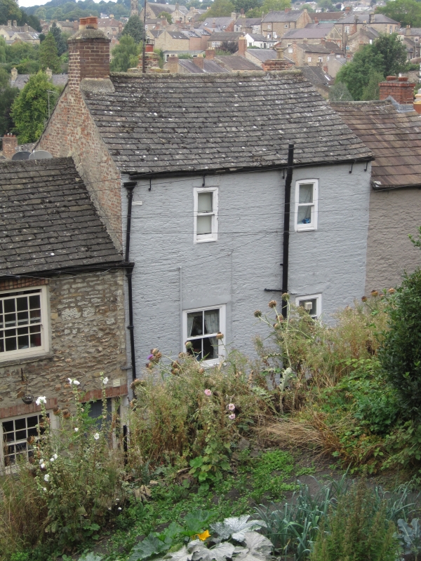
1. THE BAR
1549 (West Side)
1.8.52. No 7
20.4.87. No 7A
NZ 1700 NW 1/14
II GV
2.
C17, much altered. Entrance up flight of stone steps within the building,
through archway with moulded flat arch lintel and squared imposts. Colour-
washed brick on rubble base. Also in this gabled elevation a C19 ground
floor entrance with four-panel door. One window.
Nos 1 to 8 (consec) and the Bar form a group
Listing NGR: NZ1703300747
External links are from the relevant listing authority and, where applicable, Wikidata. Wikidata IDs may be related buildings as well as this specific building. If you want to add or update a link, you will need to do so by editing the Wikidata entry.


Other nearby listed buildings
