Approximate Location Map
Large Map »
Latitude: 54.527 / 54°31'37"N
Longitude: -1.5592 / 1°33'32"W
OS Eastings: 428628
OS Northings: 514727
OS Grid: NZ286147
Mapcode National: GBR KJK2.7Y
Mapcode Global: WHC5X.0GTV
Plus Code: 9C6WGCGR+R8
Entry Name: 49, Bondgate
Listing Date: 6 September 1977
Grade: II
Source: Historic England
Source ID: 1322910
English Heritage Legacy ID: 110547
ID on this website: 101322910
Location: Darlington, County Durham, DL3
County: Darlington
Electoral Ward/Division: Park East
Parish: Non Civil Parish
Built-Up Area: Darlington
Traditional County: Durham
Lieutenancy Area (Ceremonial County): County Durham
Church of England Parish: Darlington Holy Trinity
Church of England Diocese: Durham
Tagged with: Building
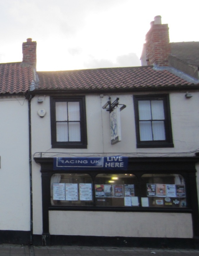
B0NDGATE
1. (South Side)
5195
No 49
NZ 2814 NE 7/211
II GV
2.
Late C18 or early C19 2 storey, 2-window house. Stucco with fairly low pitched
pantiled roof. Flush wood architraves to windows boarded up at time of survey.
Mid C19 double shop front has central door with fanlight and pilasters and full
width entablature.
Listing NGR: NZ2862814727
External links are from the relevant listing authority and, where applicable, Wikidata. Wikidata IDs may be related buildings as well as this specific building. If you want to add or update a link, you will need to do so by editing the Wikidata entry.


Other nearby listed buildings
