Approximate Location Map
Large Map »
Latitude: 51.1441 / 51°8'38"N
Longitude: 0.6765 / 0°40'35"E
OS Eastings: 587312
OS Northings: 141724
OS Grid: TQ873417
Mapcode National: GBR QV9.9T8
Mapcode Global: VHJN2.NHZR
Plus Code: 9F324MVG+MH
Entry Name: Grigsby Farmhouse
Listing Date: 10 October 1980
Grade: II
Source: Historic England
Source ID: 1325958
English Heritage Legacy ID: 181192
ID on this website: 101325958
Location: Smarden, Ashford, Kent, TN27
County: Kent
District: Ashford
Civil Parish: Smarden
Traditional County: Kent
Lieutenancy Area (Ceremonial County): Kent
Tagged with: Farmhouse
1.
5272 SMARDEN BIDDENDEN ROAD
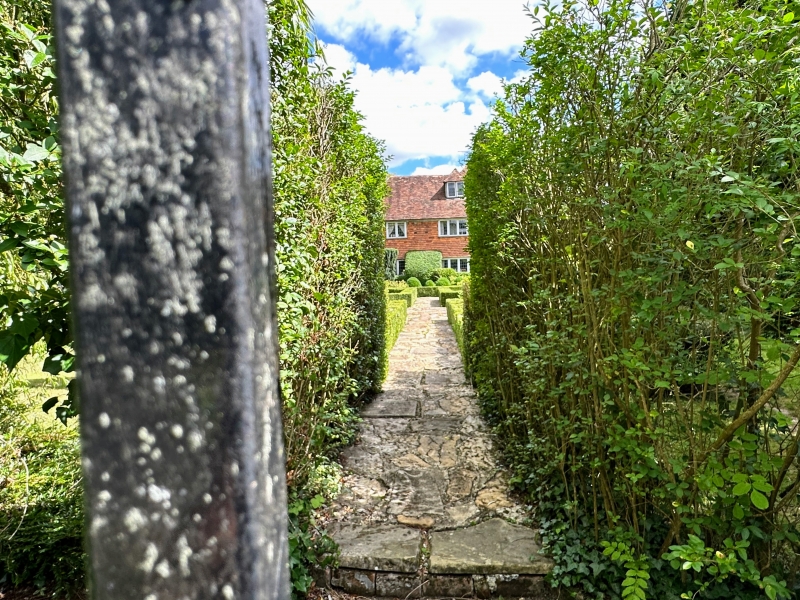
Grigsby Farmhouse
TQ 8741 30/68
II
2.
C17 or earlier L-shaped timber-framed building with the timbering and red brick
infilling exposed in the east wing, but the west wing refronted with red brick
on the ground floor and tile-hung above. Tiled roof with one hipped dormer.
Two storeys and attic. Three casement windows.
Listing NGR: TQ8731241724
External links are from the relevant listing authority and, where applicable, Wikidata. Wikidata IDs may be related buildings as well as this specific building. If you want to add or update a link, you will need to do so by editing the Wikidata entry.


Other nearby listed buildings
