Approximate Location Map
Large Map »
Latitude: 50.2146 / 50°12'52"N
Longitude: -5.4807 / 5°28'50"W
OS Eastings: 151778
OS Northings: 40755
OS Grid: SW517407
Mapcode National: GBR DXV3.NBJ
Mapcode Global: VH12D.YVGV
Plus Code: 9C2P6G79+RP
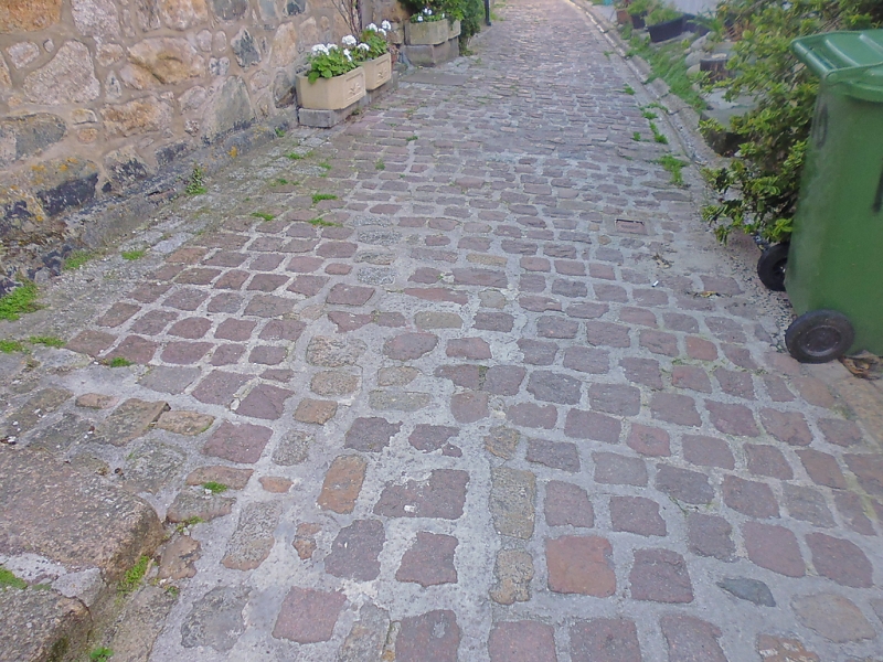
Entry Name: The Street Surface
Listing Date: 22 December 1972
Grade: II
Source: Historic England
Source ID: 1327810
English Heritage Legacy ID: 69135
ID on this website: 101327810
Location: St Ives, Cornwall, TR26
County: Cornwall
Civil Parish: St. Ives
Built-Up Area: St Ives
Traditional County: Cornwall
Lieutenancy Area (Ceremonial County): Cornwall
Church of England Parish: St Ives
Church of England Diocese: Truro
Tagged with: Architectural structure
VIRGIN STREET
1. -------------
1587 The Street Surface
SW 54 SW 1/296
II
2.
The cobbled street surface is graded II.
Listing NGR: SW5177840755
External links are from the relevant listing authority and, where applicable, Wikidata. Wikidata IDs may be related buildings as well as this specific building. If you want to add or update a link, you will need to do so by editing the Wikidata entry.


Other nearby listed buildings
