Approximate Location Map
Large Map »
Latitude: 54.5518 / 54°33'6"N
Longitude: -3.5993 / 3°35'57"W
OS Eastings: 296658
OS Northings: 518571
OS Grid: NX966185
Mapcode National: GBR 3H9T.K2
Mapcode Global: WH5Z1.PV8D
Plus Code: 9C6RHC22+P7
Entry Name: West Pier
Listing Date: 13 September 1972
Grade: II
Source: Historic England
Source ID: 1335967
English Heritage Legacy ID: 75897
ID on this website: 101335967
Location: Whitehaven, Cumberland, Cumbria, CA28
County: Cumbria
District: Copeland
Civil Parish: Whitehaven
Built-Up Area: Whitehaven
Traditional County: Cumberland
Lieutenancy Area (Ceremonial County): Cumbria
Church of England Parish: Kells St Peter
Church of England Diocese: Carlisle
Tagged with: Architectural structure
NX 91 NE 2/6
1814
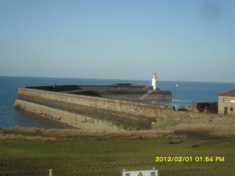
West Pier
Stone pier built by Rennie between 1824 and 1839.
Listing NGR: NX9665818571
External links are from the relevant listing authority and, where applicable, Wikidata. Wikidata IDs may be related buildings as well as this specific building. If you want to add or update a link, you will need to do so by editing the Wikidata entry.


Other nearby listed buildings
