Approximate Location Map
Large Map »
Latitude: 51.2736 / 51°16'25"N
Longitude: 0.5219 / 0°31'18"E
OS Eastings: 576005
OS Northings: 155742
OS Grid: TQ760557
Mapcode National: GBR PR7.0RJ
Mapcode Global: VHJMF.077Z
Plus Code: 9F327GFC+FQ
Entry Name: 12, High Street
Listing Date: 2 August 1974
Grade: II
Source: Historic England
Source ID: 1336213
English Heritage Legacy ID: 173338
ID on this website: 101336213
Location: Maidstone, Kent, ME14
County: Kent
District: Maidstone
Electoral Ward/Division: High Street
Parish: Non Civil Parish
Built-Up Area: Maidstone
Traditional County: Kent
Lieutenancy Area (Ceremonial County): Kent
Tagged with: Building
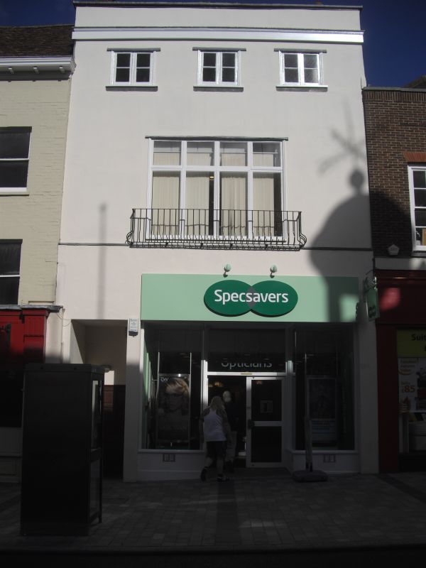
HIGH STREET
1.
5278
(North-West Side)
No 12
TQ 7655 NW 2/269
II GV
2.
Early to mid C19. 3 storeys stuccoed. Hipped slate roof. Parapet. 2nd floor
has 3 casements. 1st floor has 1 casement. Modern shopfront. Grade II for
group value.
Nos 12 to 17 (consec) form a group.
Listing NGR: TQ7600355744
External links are from the relevant listing authority and, where applicable, Wikidata. Wikidata IDs may be related buildings as well as this specific building. If you want to add or update a link, you will need to do so by editing the Wikidata entry.


Other nearby listed buildings
