Approximate Location Map
Large Map »
Latitude: 51.2805 / 51°16'49"N
Longitude: 1.0782 / 1°4'41"E
OS Eastings: 614768
OS Northings: 157990
OS Grid: TR147579
Mapcode National: GBR TY2.PDG
Mapcode Global: VHLGM.M2VN
Plus Code: 9F3373JH+67
Entry Name: 18, the Friars
Listing Date: 7 September 1973
Grade: II
Source: Historic England
Source ID: 1336842
English Heritage Legacy ID: 170620
ID on this website: 101336842
Location: Canterbury, Kent, CT1
County: Kent
District: Canterbury
Electoral Ward/Division: Westgate
Parish: Non Civil Parish
Built-Up Area: Canterbury
Traditional County: Kent
Lieutenancy Area (Ceremonial County): Kent
Tagged with: Building
1.
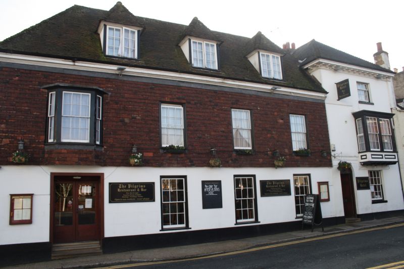
944 THE FRIARS
No 18
TR 1457 NE 4/499
II GV
2.
C18 in origin with C19 alterations. 2 to 3 storeys stuccoed. Hipped tiled
roof with wooden bracket cornice. 1 left side gable. Windows are sashes
with no glazing bars. Doorcase is round-headed with a fanlight and later
door. Late C19 pseudo timber-framed gable and 2 storey extension.
Nos 11 to 18 (consec) form a group.
Listing NGR: TR1477257990
External links are from the relevant listing authority and, where applicable, Wikidata. Wikidata IDs may be related buildings as well as this specific building. If you want to add or update a link, you will need to do so by editing the Wikidata entry.


Other nearby listed buildings
