Approximate Location Map
Large Map »
Latitude: 52.6434 / 52°38'36"N
Longitude: -0.9026 / 0°54'9"W
OS Eastings: 474348
OS Northings: 305634
OS Grid: SK743056
Mapcode National: GBR BQF.6M1
Mapcode Global: WHFKL.3TGD
Plus Code: 9C4XJ3VW+8X
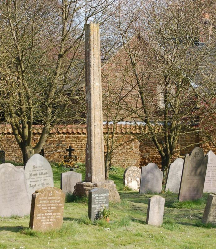
Entry Name: Churchyard Cross
Listing Date: 29 December 1966
Grade: II
Source: Historic England
Source ID: 1360999
English Heritage Legacy ID: 190638
ID on this website: 101360999
Location: St Peter's Church, Tilton on the Hill, Harborough, Leicestershire, LE7
County: Leicestershire
District: Harborough
Civil Parish: Tilton on the Hill and Halstead
Built-Up Area: Tilton on the Hill
Traditional County: Leicestershire
Lieutenancy Area (Ceremonial County): Leicestershire
Church of England Parish: Tilton-on-the-Hill (Whatborough Parishes)
Church of England Diocese: Leicester
Tagged with: Churchyard cross
TILTON ON THE HILL
SK 70 NW MAIN STREET (East Side)
1/110 Churchyard Cross
29.12.66
GV II
Cross. Medieval. Slender fluted shaft on square base. Scheduled Ancient Monument.
Listing NGR: SK7434805634
External links are from the relevant listing authority and, where applicable, Wikidata. Wikidata IDs may be related buildings as well as this specific building. If you want to add or update a link, you will need to do so by editing the Wikidata entry.


Other nearby listed buildings
