Approximate Location Map
Large Map »
Latitude: 52.3501 / 52°21'0"N
Longitude: -1.5813 / 1°34'52"W
OS Eastings: 428616
OS Northings: 272535
OS Grid: SP286725
Mapcode National: GBR 5LC.P1D
Mapcode Global: VHBX9.J6W6
Plus Code: 9C4W9C29+3F
Entry Name: 2, High Street
Listing Date: 10 November 1971
Grade: II
Source: Historic England
Source ID: 1364866
English Heritage Legacy ID: 307785
ID on this website: 101364866
Location: Ladyes Hills, Warwick, Warwickshire, CV8
County: Warwickshire
District: Warwick
Civil Parish: Kenilworth
Built-Up Area: Kenilworth
Traditional County: Warwickshire
Lieutenancy Area (Ceremonial County): Warwickshire
Church of England Parish: Kenilworth St Nicholas
Church of England Diocese: Coventry
Tagged with: Building
HIGH STREET
1.
1270
(North Side)
No 2
SP 2872 NE 8/52
II GV
2.
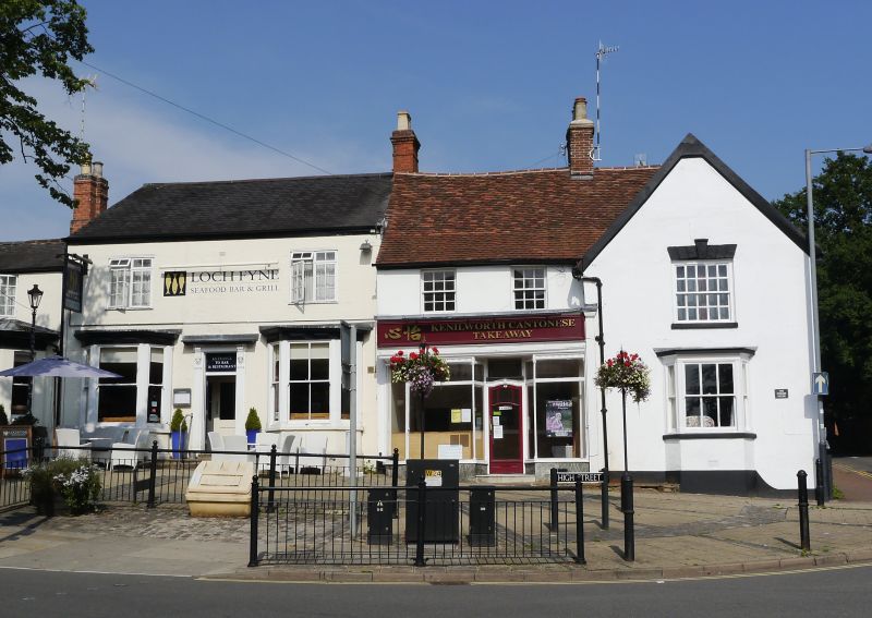
Probably timber-framed building refaced with stucco in 1907. 2 storeys.
3 windows. Gable at east end. Tiled roof. Left hand C19 shop window.
No 2 and Nos 6 to 16 (even) form a group.
Listing NGR: SP2861572535
External links are from the relevant listing authority and, where applicable, Wikidata. Wikidata IDs may be related buildings as well as this specific building. If you want to add or update a link, you will need to do so by editing the Wikidata entry.


Other nearby listed buildings
