Approximate Location Map
Large Map »
Latitude: 52.5531 / 52°33'11"N
Longitude: -2.6404 / 2°38'25"W
OS Eastings: 356675
OS Northings: 295218
OS Grid: SO566952
Mapcode National: GBR BP.D6N1
Mapcode Global: VH83D.53Z4
Plus Code: 9C4VH935+6R
Entry Name: Crowther's House
Listing Date: 9 March 1970
Grade: II
Source: Historic England
Source ID: 1367538
English Heritage Legacy ID: 254710
ID on this website: 101367538
Location: Easthope, Shropshire, TF13
County: Shropshire
Civil Parish: Easthope
Traditional County: Shropshire
Lieutenancy Area (Ceremonial County): Shropshire
Church of England Parish: Easthope
Church of England Diocese: Hereford
Tagged with: House
1.
1954
SO 59 NE
12/4
9.3.70
EASTHOPE
EASTHOPE
Crowther's House
II
2.
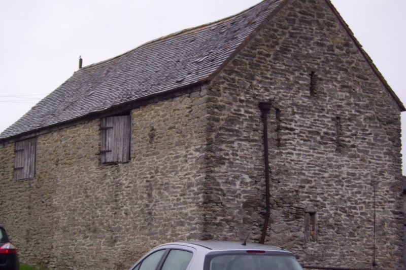
C16 and later. Timber framed and partly of cruck construction. 1 storey
and attic. Stone portion now replaced by painted brick and former thatched
roof now tiled.
Listing NGR: SO5667595218
External links are from the relevant listing authority and, where applicable, Wikidata. Wikidata IDs may be related buildings as well as this specific building. If you want to add or update a link, you will need to do so by editing the Wikidata entry.


Other nearby listed buildings
