Approximate Location Map
Large Map »
Latitude: 51.7548 / 51°45'17"N
Longitude: -1.2572 / 1°15'25"W
OS Eastings: 451368
OS Northings: 206493
OS Grid: SP513064
Mapcode National: GBR 8YY.T4S
Mapcode Global: VHCXV.5563
Plus Code: 9C3WQP3V+W4
Entry Name: Balliol College, Chapel, Front Quadrangle
Listing Date: 12 January 1954
Grade: II
Source: Historic England
Source ID: 1369622
English Heritage Legacy ID: 244844
ID on this website: 101369622
Location: Oxford, Oxfordshire, OX1
County: Oxfordshire
District: Oxford
Electoral Ward/Division: Carfax
Parish: Non Civil Parish
Built-Up Area: Oxford
Traditional County: Oxfordshire
Lieutenancy Area (Ceremonial County): Oxfordshire
Church of England Parish: Oxford St Mary Magdalen
Church of England Diocese: Oxford
BALLIOL COLLEGE
1.
1485
Front Quadrangle
Chapel
SP 5106 SW 8/138M 12.1.54.
II
2.
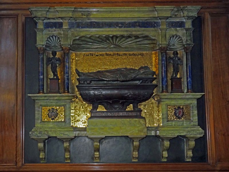
Chapel 1856-7 by W Butterfield in Bath and Red Sandstone. Contains notable
fittings from the earlier building.
Listing NGR: SP5136806493
External links are from the relevant listing authority and, where applicable, Wikidata. Wikidata IDs may be related buildings as well as this specific building. If you want to add or update a link, you will need to do so by editing the Wikidata entry.


Other nearby listed buildings
