Approximate Location Map
Large Map »
Latitude: 51.1692 / 51°10'9"N
Longitude: 0.6105 / 0°36'37"E
OS Eastings: 582600
OS Northings: 144350
OS Grid: TQ826443
Mapcode National: GBR QTT.R4N
Mapcode Global: VHJMV.JWM1
Plus Code: 9F325J96+M6
Entry Name: Stephens Bridge
Listing Date: 20 October 1952
Grade: II
Source: Historic England
Source ID: 1370047
English Heritage Legacy ID: 174338
ID on this website: 101370047
Location: Headcorn, Maidstone, Kent, TN27
County: Kent
District: Maidstone
Civil Parish: Headcorn
Traditional County: Kent
Lieutenancy Area (Ceremonial County): Kent
Tagged with: Bridge
HEADCORN WATER LANE
TQ 84 SW
7/110 Stephen's Bridge
20.10.52
II
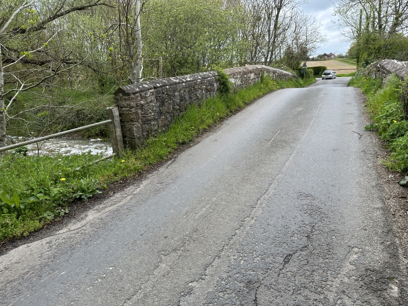
Road bridge. Ina medieval style. Ragstone. Cambered bridge with 2 plain-
chamfered segmental arches. Plain parapet with renewed brick coping. Cutwater
to east carried up to form refuge, with seat or partial infilling within
paranet. 3 buttresses to west retaining wall. Said to be called after
Archbishop Stephen Langton who built original bridge on site.
Listing NGR: TQ8178043839
External links are from the relevant listing authority and, where applicable, Wikidata. Wikidata IDs may be related buildings as well as this specific building. If you want to add or update a link, you will need to do so by editing the Wikidata entry.


Other nearby listed buildings
