Approximate Location Map
Large Map »
Latitude: 53.1924 / 53°11'32"N
Longitude: -2.8914 / 2°53'29"W
OS Eastings: 340540
OS Northings: 366514
OS Grid: SJ405665
Mapcode National: GBR 7B.2S5T
Mapcode Global: WH88F.K0CZ
Plus Code: 9C5V54R5+XC
Entry Name: Front Garden Wall to Numbers 13 and 14
Listing Date: 6 August 1998
Grade: II
Source: Historic England
Source ID: 1376032
English Heritage Legacy ID: 470018
ID on this website: 101376032
Location: Chester, Cheshire West and Chester, Cheshire, CH1
County: Cheshire West and Chester
Electoral Ward/Division: Chester City
Parish: Non Civil Parish
Built-Up Area: Chester
Traditional County: Cheshire
Lieutenancy Area (Ceremonial County): Cheshire
Tagged with: Wall
CHESTER CITY (IM)
SJ4066NE ABBEY SQUARE
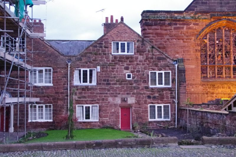
595-1/2/18 Front garden wall to Nos.13 and 14
GV II
Wall, formerly plinth for a railing. Probably C18. Red
sandstone with round top. The iron railings were removed,
probably during the Second World War.
Listing NGR: SJ4053966512
External links are from the relevant listing authority and, where applicable, Wikidata. Wikidata IDs may be related buildings as well as this specific building. If you want to add or update a link, you will need to do so by editing the Wikidata entry.


Other nearby listed buildings
