Approximate Location Map
Large Map »
Latitude: 51.5594 / 51°33'33"N
Longitude: -0.178 / 0°10'40"W
OS Eastings: 526402
OS Northings: 186071
OS Grid: TQ264860
Mapcode National: GBR D0.FSD
Mapcode Global: VHGQR.V2SF
Plus Code: 9C3XHR5C+PR
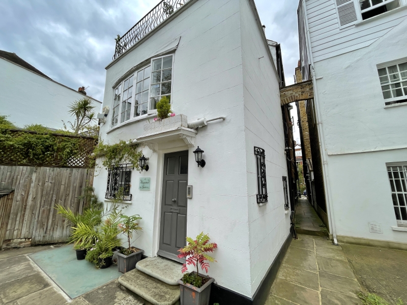
Entry Name: 4, Hampstead Square
Listing Date: 14 May 1974
Grade: II
Source: Historic England
Source ID: 1378720
English Heritage Legacy ID: 478054
ID on this website: 101378720
Location: Vale of Health, Camden, London, NW3
County: London
District: Camden
Electoral Ward/Division: Hampstead Town
Parish: Non Civil Parish
Built-Up Area: Camden
Traditional County: Middlesex
Lieutenancy Area (Ceremonial County): Greater London
Church of England Parish: Christ Church Hampstead
Church of England Diocese: London
Tagged with: Building
CAMDEN
TQ2686SW HAMPSTEAD SQUARE
798-1/16/773 (West side)
14/05/74 No.4
GV II
Semi-detached house, formerly 2 cottages. Late C18. Stucco,
scored to appear as ashlar. 3 storeys 4 windows. Square-headed
doorway with panelled door. Slightly recessed sashes with
exposed boxing. Parapet. INTERIOR: not inspected.
Listing NGR: TQ2640486070
External links are from the relevant listing authority and, where applicable, Wikidata. Wikidata IDs may be related buildings as well as this specific building. If you want to add or update a link, you will need to do so by editing the Wikidata entry.


Other nearby listed buildings
