Approximate Location Map
Large Map »
Latitude: 53.2388 / 53°14'19"N
Longitude: -0.5392 / 0°32'21"W
OS Eastings: 497590
OS Northings: 372301
OS Grid: SK975723
Mapcode National: GBR SZPZ.2P
Mapcode Global: WHGHZ.PVFG
Plus Code: 9C5X6FQ6+G8
Entry Name: 23, Newport
Listing Date: 15 August 1973
Last Amended: 20 December 1999
Grade: II
Source: Historic England
Source ID: 1388722
English Heritage Legacy ID: 486183
ID on this website: 101388722
Location: Lincoln, Lincolnshire, LN1
County: Lincolnshire
District: Lincoln
Electoral Ward/Division: Castle
Parish: Non Civil Parish
Built-Up Area: Lincoln
Traditional County: Lincolnshire
Lieutenancy Area (Ceremonial County): Lincolnshire
Church of England Parish: Lincoln St Nicholas
Church of England Diocese: Lincoln
Tagged with: Building
LINCOLN
SK9772SE NEWPORT
1941-1/7/297 (West side)
15/08/73 No.23
(Formerly Listed as:
NEWPORT
(West side)
No.28
Lincolnshire Arts Association)
II
Formerly known as: St Hugh's Hostel NEWPORT.
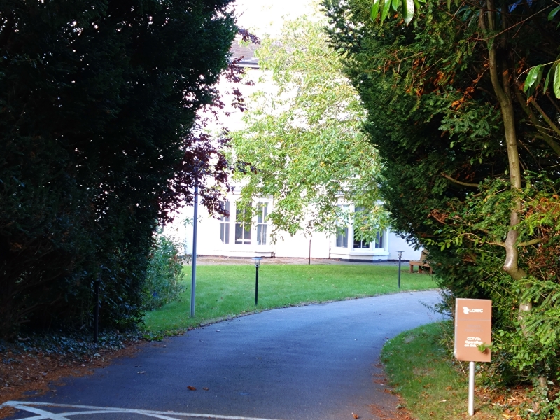
House, now offices. Late C18, early and mid C19, with mid C20
additions. Brick, stuccoed, with hipped and gabled slate and
pantile roofs with 5 rendered side wall stacks.
Main block, 3 storeys, double depth plan, with eaves cornice.
To left, hipped wing, 2 storeys. To right, set back wing, 2
storeys, with eaves cornice and coped parapet.
Main block has 2 bay windows, 2 storeys, with hipped roofs and
3 plain sashes on each floor. Above, a central glazing bar
sash, and above again, 3 smaller sashes, all with moulded
surrounds.
Right wing has in the return angle a half-glazed door, mid
C19, with overlight and sidelights, under a canopy with a
square pier. To right, a glazing bar sash with moulded
surround and cornice. Above, 2 plain sashes with moulded
surrounds.
Projecting left wing has 2 large C20 casements and above, 3
plain sashes.
INTERIOR has a cantilever dogleg winder stair with turned
balusters and ramped scrolled handrail. Shaped landing.
This building stands on the site of an Augustinian friary and
may contain some fragments of medieval walling in its
foundations.
Listing NGR: SK9759072301
External links are from the relevant listing authority and, where applicable, Wikidata. Wikidata IDs may be related buildings as well as this specific building. If you want to add or update a link, you will need to do so by editing the Wikidata entry.


Other nearby listed buildings
