Approximate Location Map
Large Map »
Latitude: 51.5166 / 51°30'59"N
Longitude: -0.197 / 0°11'49"W
OS Eastings: 525199
OS Northings: 181284
OS Grid: TQ251812
Mapcode National: GBR C8.30V
Mapcode Global: VHGQY.J4PP
Plus Code: 9C3XGR83+J5
Entry Name: 17-31, Sutherland Place
Listing Date: 31 October 2003
Grade: II
Source: Historic England
Source ID: 1390658
English Heritage Legacy ID: 490644
ID on this website: 101390658
Location: Notting Hill, Westminster, London, W2
County: London
District: City of Westminster
Electoral Ward/Division: Bayswater
Parish: Non Civil Parish
Built-Up Area: City of Westminster
Traditional County: Middlesex
Lieutenancy Area (Ceremonial County): Greater London
Church of England Parish: St Stephen Paddington
Church of England Diocese: London
Tagged with: Building
1900/0/10351 SUTHERLAND PLACE
31-OCT-03 Westbourne Green
17-31
II
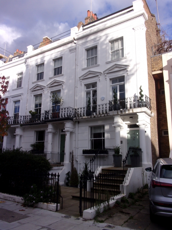
Terrace of fifteen houses, c.1850-3. Brick, stuccoed to front, slate roofs with brick stacks. Three storeys, basement and attic; some houses with raised attic extensions. The two dwellings at either end are stepped forward, as are the centre three dwellings. The end pavilions have simple pilasters with roseate capitals, the centrepiece with fluted Corinthian pilasters. Rusticated ground floor with tripartite windows under projecting balcony with iron balustrading. Upper floor windows have eight-pane sashes to first floor (no.30 has casements) and six panes to second floor, in reeded surrounds. All the first-floor windows have cornice brackets, and those in right end pavilions also have pediments and those in centre have segmental pediments. A heavy cornice, with dentils to nos.25 and 31. Projecting Roman Doric porches, with four shallow steps and most with triglyphs. Some original double-panelled doors remain. Interiors not inspected.
This is a terrace of unusual scale that forms a particularly strong, architectural composition, comparable with examples already listed nearby (Chepstow Road) and nationally.
Sources
Westminster City Archives, census records
External links are from the relevant listing authority and, where applicable, Wikidata. Wikidata IDs may be related buildings as well as this specific building. If you want to add or update a link, you will need to do so by editing the Wikidata entry.


Other nearby listed buildings
