Approximate Location Map
Large Map »
Latitude: 51.4428 / 51°26'34"N
Longitude: -2.8569 / 2°51'24"W
OS Eastings: 340540
OS Northings: 171886
OS Grid: ST405718
Mapcode National: GBR JC.NB30
Mapcode Global: VH7C1.FZJT
Plus Code: 9C3VC4VV+46
Entry Name: 63 Hill Road
Listing Date: 16 March 2004
Grade: II
Source: Historic England
Source ID: 1430445
ID on this website: 101430445
Location: Clevedon, North Somerset, BS21
County: North Somerset
Civil Parish: Clevedon
Built-Up Area: Clevedon
Traditional County: Somerset
Lieutenancy Area (Ceremonial County): Somerset
Tagged with: Building
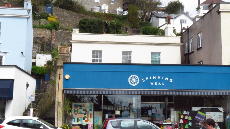
HILL ROAD,
No. 63
GV II
House. Early C19. Stuccoed. Roof concealed behind parapet. Rendered gable-end stacks. 2 storeys. Symmetrical 3-bay front with moulded cornice and parapet and with sash windows complete with glazing bars; lean-to glazed verandah to ground floor. Shop in front not included.
External links are from the relevant listing authority and, where applicable, Wikidata. Wikidata IDs may be related buildings as well as this specific building. If you want to add or update a link, you will need to do so by editing the Wikidata entry.


Other nearby listed buildings
