Approximate Location Map
Large Map »
Latitude: 55.7176 / 55°43'3"N
Longitude: -3.4792 / 3°28'45"W
OS Eastings: 307170
OS Northings: 648120
OS Grid: NT071481
Mapcode National: GBR 424B.K7
Mapcode Global: WH5SH.JKF5
Plus Code: 9C7RPG9C+28
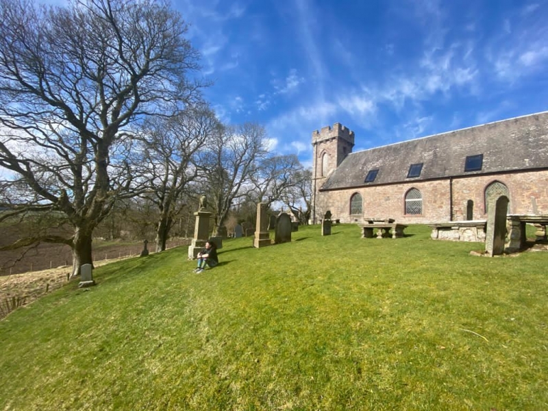
Entry Name: Dunsyre Parish Church
Listing Name: Parish Church, and Graveyard
Listing Date: 12 January 1971
Category: B
Source: Historic Scotland
Source ID: 331023
Historic Scotland Designation Reference: LB641
Building Class: Cultural
ID on this website: 200331023
Location: Dunsyre
County: South Lanarkshire
Electoral Ward: Clydesdale East
Parish: Dunsyre
Traditional County: Lanarkshire
Tagged with: Church building
1820, incorporating earlier fragments; late furniture
and addition, jougs.
External links are from the relevant listing authority and, where applicable, Wikidata. Wikidata IDs may be related buildings as well as this specific building. If you want to add or update a link, you will need to do so by editing the Wikidata entry.


Other nearby listed buildings
