Approximate Location Map
Large Map »
Latitude: 57.0601 / 57°3'36"N
Longitude: -2.4388 / 2°26'19"W
OS Eastings: 373483
OS Northings: 796643
OS Grid: NO734966
Mapcode National: GBR X6.T65B
Mapcode Global: WH8PT.HTW1
Plus Code: 9C9V3H66+2F
Entry Name: Doocot, Crathes Castle
Listing Name: Crathes - Doocot
Listing Date: 18 August 1972
Category: B
Source: Historic Scotland
Source ID: 334274
Historic Scotland Designation Reference: LB3263
Building Class: Cultural
ID on this website: 200334274
Location: Banchory-Ternan
County: Aberdeenshire
Electoral Ward: Banchory and Mid Deeside
Parish: Banchory-Ternan
Traditional County: Kincardineshire
Tagged with: Architectural structure Dovecote
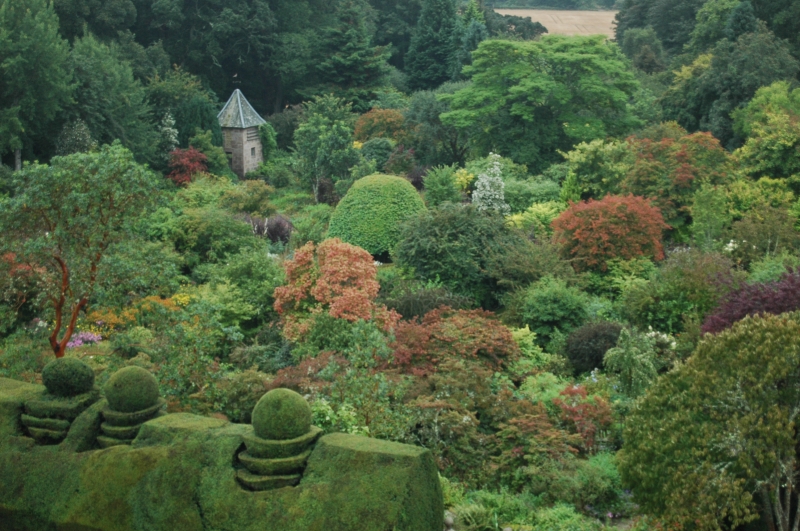
Small square, rubble, with forestair and slated pyramidal roof. Probably early 19th century. Rebuilt on present site 1935. Inset stone from Houses of Parliament.
External links are from the relevant listing authority and, where applicable, Wikidata. Wikidata IDs may be related buildings as well as this specific building. If you want to add or update a link, you will need to do so by editing the Wikidata entry.


Other nearby listed buildings
