Approximate Location Map
Large Map »
Latitude: 55.7847 / 55°47'5"N
Longitude: -4.1073 / 4°6'26"W
OS Eastings: 267950
OS Northings: 656612
OS Grid: NS679566
Mapcode National: GBR 3Y.8HG7
Mapcode Global: WH4QN.WVBQ
Plus Code: 9C7QQVMV+V3
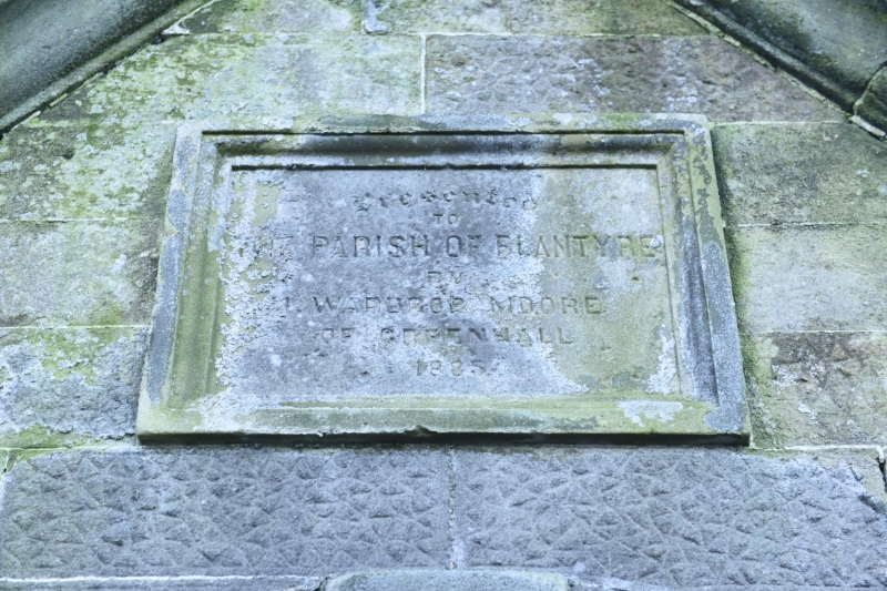
Entry Name: Churchyard, Blantyre Old Parish Church
Listing Name: Old Churchyard
Listing Date: 12 January 1971
Category: B
Source: Historic Scotland
Source ID: 336503
Historic Scotland Designation Reference: LB5157
Building Class: Cultural
ID on this website: 200336503
Location: Blantyre
County: South Lanarkshire
Electoral Ward: Blantyre
Parish: Blantyre
Traditional County: Lanarkshire
Tagged with: Churchyard
Original church built in 1793, now demolished.
External links are from the relevant listing authority and, where applicable, Wikidata. Wikidata IDs may be related buildings as well as this specific building. If you want to add or update a link, you will need to do so by editing the Wikidata entry.


Other nearby listed buildings
