Approximate Location Map
Large Map »
Latitude: 55.8294 / 55°49'45"N
Longitude: -4.101 / 4°6'3"W
OS Eastings: 268496
OS Northings: 661566
OS Grid: NS684615
Mapcode National: GBR 3Y.5QWB
Mapcode Global: WH4QG.ZRB0
Plus Code: 9C7QRVHX+PJ
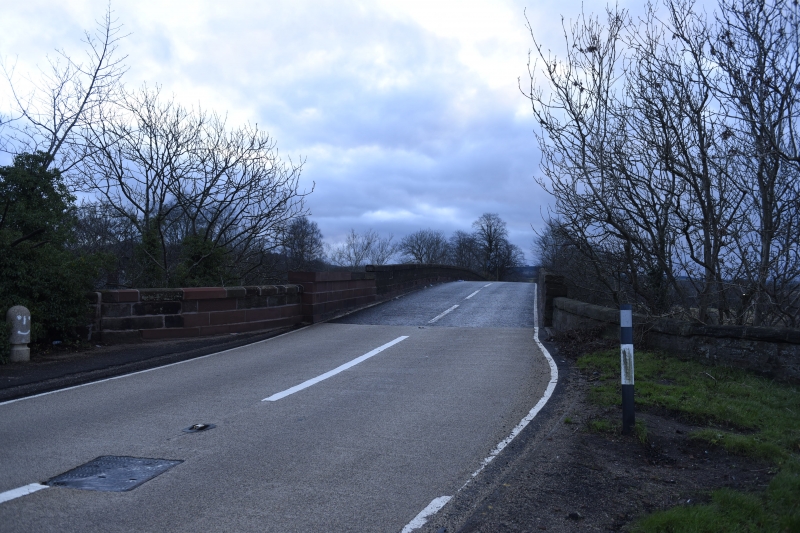
Entry Name: Haughhead Bridge
Listing Name: Haughhead Bridge
Listing Date: 12 January 1971
Category: B
Source: Historic Scotland
Source ID: 336511
Historic Scotland Designation Reference: LB5165
Building Class: Cultural
ID on this website: 200336511
Location: Blantyre
County: South Lanarkshire
Electoral Ward: Thorniewood
Parish: Blantyre
Traditional County: Lanarkshire
Spanning the Clyde. 4 segmental arches; flat panelled pillasters; splayed cutwaters. Early 19th century.
External links are from the relevant listing authority and, where applicable, Wikidata. Wikidata IDs may be related buildings as well as this specific building. If you want to add or update a link, you will need to do so by editing the Wikidata entry.


Other nearby listed buildings
