Approximate Location Map
Large Map »
Latitude: 56.1274 / 56°7'38"N
Longitude: -4.1732 / 4°10'23"W
OS Eastings: 265017
OS Northings: 694865
OS Grid: NS650948
Mapcode National: GBR 12.KY64
Mapcode Global: WH4P2.V8Y0
Plus Code: 9C8Q4RGG+WP
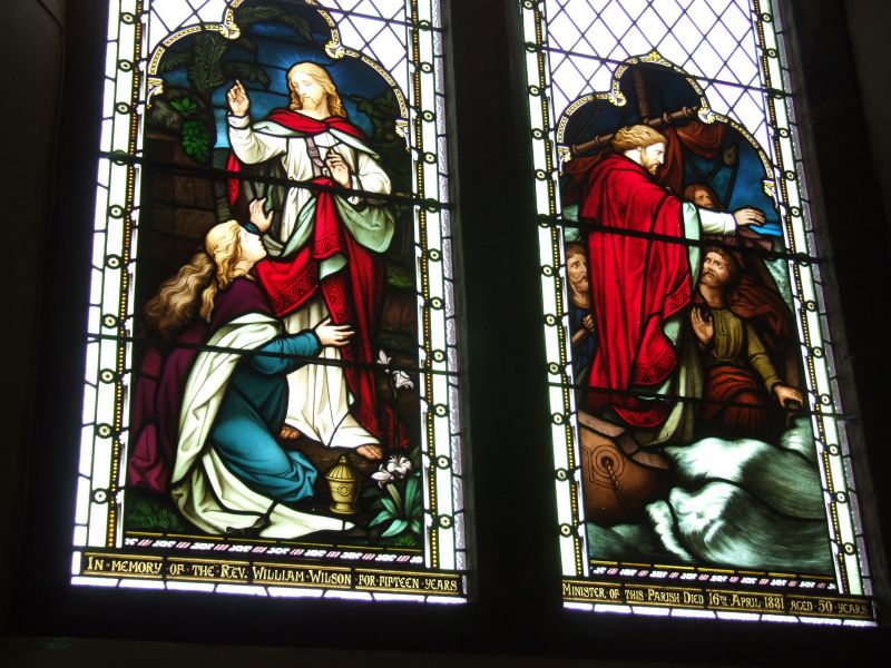
Entry Name: Kippen Parish Church, Fore Road, Kippen
Listing Name: Parish Church
Listing Date: 5 September 1973
Category: B
Source: Historic Scotland
Source ID: 340239
Historic Scotland Designation Reference: LB8163
Building Class: Cultural
ID on this website: 200340239
Location: Kippen
County: Stirling
Electoral Ward: Forth and Endrick
Parish: Kippen
Traditional County: Stirlingshire
Tagged with: Church building
1825 altered and enlarged 1928, Sir D Y Cameron. Red
sandstone with square bell tower.
Ecclesiastical building in use as such.
External links are from the relevant listing authority and, where applicable, Wikidata. Wikidata IDs may be related buildings as well as this specific building. If you want to add or update a link, you will need to do so by editing the Wikidata entry.


Other nearby listed buildings
