Approximate Location Map
Large Map »
Latitude: 56.0431 / 56°2'35"N
Longitude: -3.7936 / 3°47'37"W
OS Eastings: 288361
OS Northings: 684811
OS Grid: NS883848
Mapcode National: GBR 1J.RCP7
Mapcode Global: WH5QS.PCQM
Plus Code: 9C8R26V4+6G
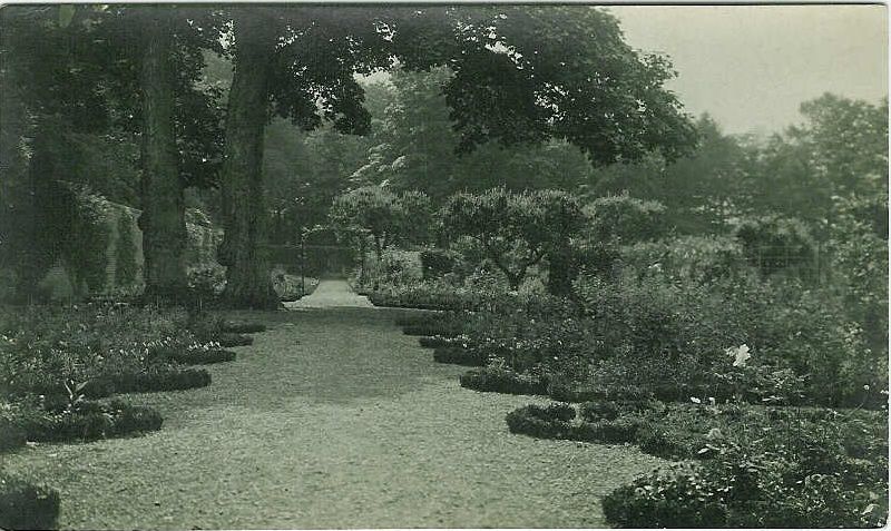
Entry Name: Walled Garden, Kinnaird House
Listing Name: Kinnaird House Walled Gardens
Listing Date: 25 October 1972
Category: B
Source: Historic Scotland
Source ID: 342959
Historic Scotland Designation Reference: LB10499
Building Class: Cultural
ID on this website: 200342959
Location: Larbert
County: Falkirk
Electoral Ward: Carse, Kinnaird and Tryst
Parish: Larbert
Traditional County: Stirlingshire
Tagged with: Walled garden
Dated 1602. 13'6" high brick wall enclosing an area of nearly
2 acres. 4 entry points, all with round heads. All in
remarkably good condition.
External links are from the relevant listing authority and, where applicable, Wikidata. Wikidata IDs may be related buildings as well as this specific building. If you want to add or update a link, you will need to do so by editing the Wikidata entry.


Other nearby listed buildings
