Approximate Location Map
Large Map »
Latitude: 55.6781 / 55°40'41"N
Longitude: -3.7994 / 3°47'57"W
OS Eastings: 286946
OS Northings: 644205
OS Grid: NS869442
Mapcode National: GBR 12XS.7C
Mapcode Global: WH5SJ.LJZX
Plus Code: 9C7RM6H2+76
Entry Name: Mousemill Old Bridge
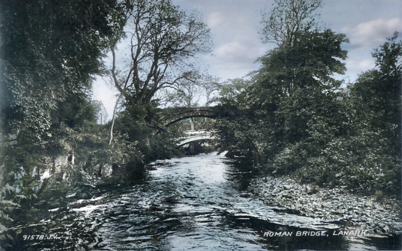
Listing Name: The Roman Bridge
Listing Date: 12 January 1971
Category: B
Source: Historic Scotland
Source ID: 346049
Historic Scotland Designation Reference: LB13061
Building Class: Cultural
ID on this website: 200346049
Location: Lanark
County: South Lanarkshire
Electoral Ward: Clydesdale North
Parish: Lanark
Traditional County: Lanarkshire
Tagged with: Bridge
?17th century. Single arch disused footbridge.
External links are from the relevant listing authority and, where applicable, Wikidata. Wikidata IDs may be related buildings as well as this specific building. If you want to add or update a link, you will need to do so by editing the Wikidata entry.


Other nearby listed buildings
