Approximate Location Map
Large Map »
Latitude: 55.8644 / 55°51'52"N
Longitude: -4.0268 / 4°1'36"W
OS Eastings: 273254
OS Northings: 665331
OS Grid: NS732653
Mapcode National: GBR 00BM.0L
Mapcode Global: WH4QB.3VRM
Plus Code: 9C7QVX7F+Q7
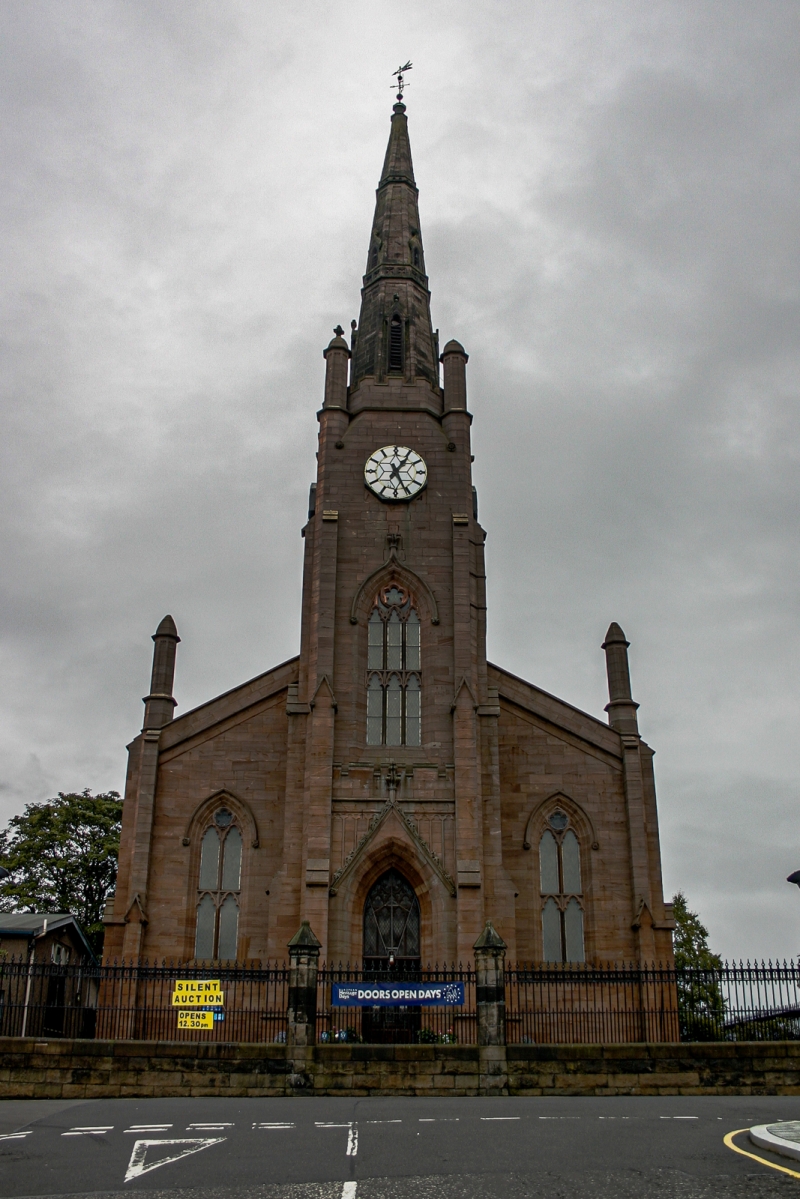
Entry Name: Gartsherrie Parish Church, Church Street, Coatbridge
Listing Name: Gartsherrie Parish Church
Listing Date: 5 February 1971
Category: B
Source: Historic Scotland
Source ID: 358737
Historic Scotland Designation Reference: LB22997
Building Class: Cultural
ID on this website: 200358737
Location: Coatbridge
County: North Lanarkshire
Town: Coatbridge
Electoral Ward: Coatbridge North
Traditional County: Lanarkshire
Tagged with: Church building
1839; gothic, with clock tower and steeple
Ecclesiastical, in use as such.
External links are from the relevant listing authority and, where applicable, Wikidata. Wikidata IDs may be related buildings as well as this specific building. If you want to add or update a link, you will need to do so by editing the Wikidata entry.


Other nearby listed buildings
