Approximate Location Map
Large Map »
Latitude: 56.2626 / 56°15'45"N
Longitude: -2.6244 / 2°37'27"W
OS Eastings: 361420
OS Northings: 707961
OS Grid: NO614079
Mapcode National: GBR 2Y.9JB0
Mapcode Global: WH8TL.NVHD
Plus Code: 9C8V797G+26
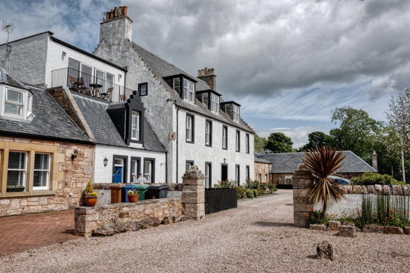
Entry Name: Denburn House, 1 Marketgate, Crail
Listing Name: Denburn House 1 Marketgate Including Outbuildings and Garden Walls
Listing Date: 9 May 1972
Category: B
Source: Historic Scotland
Source ID: 358977
Historic Scotland Designation Reference: LB23247
Building Class: Cultural
ID on this website: 200358977
Location: Crail
County: Fife
Town: Crail
Electoral Ward: East Neuk and Landward
Traditional County: Fife
Tagged with: House
18th century in present form, corner sundial dated 1719, incorporates part of 17th century house. 2-storey and attic 5-window whitewashed harl with painted margins, crow-stepped gables. Slated, 3 late dormers, late glass porch. Single-storey and loft office and coachhouse wing, walls with gatepiers having moulded tops.
External links are from the relevant listing authority and, where applicable, Wikidata. Wikidata IDs may be related buildings as well as this specific building. If you want to add or update a link, you will need to do so by editing the Wikidata entry.


Other nearby listed buildings
