Approximate Location Map
Large Map »
Latitude: 55.7781 / 55°46'41"N
Longitude: -4.2172 / 4°13'1"W
OS Eastings: 261034
OS Northings: 656088
OS Grid: NS610560
Mapcode National: GBR 3T.8VW2
Mapcode Global: WH4QT.6128
Plus Code: 9C7QQQHM+64
Entry Name: Castlehill
Listing Name: Kittochside Road, Castlehill (Including Walled Garden, Gatepiers and Boundary Walls) and Castlehill Steading
Listing Date: 15 March 1963
Category: B
Source: Historic Scotland
Source ID: 363276
Historic Scotland Designation Reference: LB26621
Building Class: Cultural
ID on this website: 200363276
Location: East Kilbride
County: South Lanarkshire
Town: East Kilbride
Electoral Ward: East Kilbride West
Traditional County: Lanarkshire
Tagged with: Building
Early 19th century with later 19th century additions (see Notes). 2-storey, 3-bay, classical farmhouse with Doric porch. 2-storey, single-bay addition to E (extending N) and further outshot to rear (N). Squared and snecked rubble (predominantly harled and painted) with raised margins. Base course; eaves course; moulded cornice; blocking course. Piended roofs. Regular fenestration.
S (ENTRANCE) ELEVATION: central doorway with Doric columned porch; broad entablature and shallow pediment above; shallow Doric pilasters flanking. Tivoli windows to ground. Single windows in bays above and to addition to E.
N (REAR) ELEVATION: single-storey, pitched-roof, pedimented outshot to centre of original building with porch to N, door and window to left return and single window to right return.
12-pane glazing in timber sash and case windows to original house; 8-pane glazing in timber sash and case to E addition. Grey slate to piended roof. Broad, tall, coped wallhead stacks with clay cans.
WALLED GARDEN, GATEPIERS AND BOUNDARY WALLS: large, rectangular-plan walled garden to E of farmhouse with coped rubble wall. Gatepiers to W (Glen Road): tall panelled ashlar with corniced domed caps; smaller cushion-capped gatepiers to pedestrian entrances flanking. Coped rubble boundary walls.
CASTLEHILL STEADING: probably mid to late 18th century (see Notes). Single-storey, roughly L-plan range fronting Kittochside Road comprising bow-ended former horsemill to W with slit openings; threshing barn to centre with gable-end to road, single window and 4 further slit openings at road level; linked byre extending to E. Steeply-pitched grey slate roofs; cat-slide dormer windows. Converted to residential (1979).
Castlehill (farmhouse) and Castlehill Steading (former horsemill, threshing barn and byre) together form a good agricultural grouping. The fine Doric entrance porch of the farmhouse sets it apart from other examples of its type while the associated steading range retains its distinctive slit openings and bow-ended horsemill section to W, contributing significantly to the streetscape.
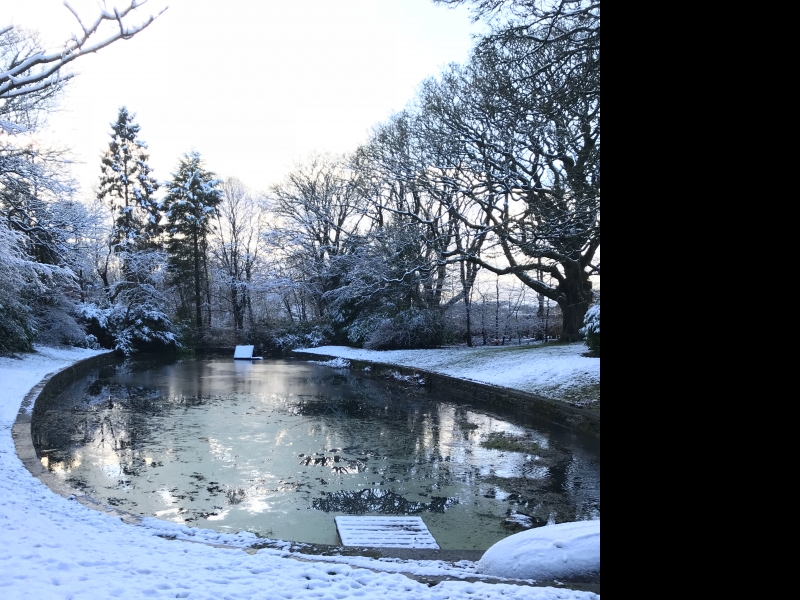
Castlehill Mains is depicted as a square courtyard-plan farmstead on William Roy's Military Map of 1747-55. The large pond located to the S of the present Castlehill House is also marked. According to David Ure's history of the parish, John Reid began improvements on the Castlehill estate in 1770 and it is likely the horsemill and threshing barn were built around this time. The current farmhouse appears to have been built in the early 19th century with the addition to E added between 1862 and 1898.
From the 16th century to around 1750, the estate of Kittochside belonged to the Caldwells of Caldwell but was later sold to John Reid for 800 merks. His descendant, John Reid 6th Laird of Kittochside, became the third largest landholder in East Kilbride parish (after the Duke of Hamilton and Alexander Downie of Crossbasket) through his continuous acquisition of farms. At his death in 1850, he left the following: Wester Kittochside, Nether Philipshall, Catgill, Waterlands Park, Lawside, Craighall, Castlehill, Peelpark, and Blackhouse. Castlehill is understood to stand on the site of a much earlier fortification.
Statutory Address and list description updated (2008) at which time, the farmhouse and steading were in separate ownership.
External links are from the relevant listing authority and, where applicable, Wikidata. Wikidata IDs may be related buildings as well as this specific building. If you want to add or update a link, you will need to do so by editing the Wikidata entry.


Other nearby listed buildings
