Approximate Location Map
Large Map »
Latitude: 55.9815 / 55°58'53"N
Longitude: -3.197 / 3°11'49"W
OS Eastings: 325409
OS Northings: 677150
OS Grid: NT254771
Mapcode National: GBR 8M3.X8
Mapcode Global: WH6SD.VXTC
Plus Code: 9C7RXRJ3+J6
Entry Name: Breakwater, Newhaven Harbour, Edinburgh
Listing Name: Newhaven Harbour
Listing Date: 14 December 1970
Category: B
Source: Historic Scotland
Source ID: 365328
Historic Scotland Designation Reference: LB27956
Building Class: Cultural
ID on this website: 200365328
Location: Edinburgh
County: Edinburgh
Town: Edinburgh
Electoral Ward: Forth
Traditional County: Midlothian
Tagged with: Breakwater
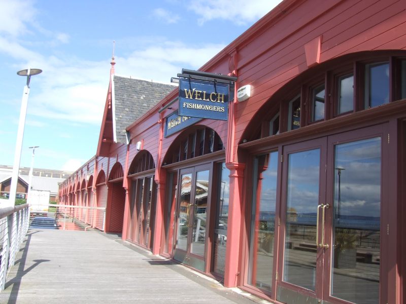
Early 19th century; L-plan ashlar pier and curved concrete breakwater added 1876-8. Enlarged and reconstructed 1876-1881; lighthouse erected on E pier (see separate list entry). E wall widened 1893-96; arcaded timber fish-house of same date. Various warehouses on S quayside built on land reclaimed for road widening circa 1960.
PIER: sloping ferry slip, 1812; setted surface with ashlar edging; concrete to S end. Sea wall by Grainger & Miller, 1837; heightened by 4 courses, 1889; now retaining wall of land reclaimed for fishmarket.
NORTH QUAY: high quality coursed ashlar; iron rings; replacement railings. Concrete heightening during complete reconstruction, 1876-1881. New lighthouse added at this time.
BREAKWATER: 1864; Robert Stevenson; 540 ft long. Enlarged 1876; concrete; curved and stepped up at entrance; 6-foot sea wall added 1881 (inconsistent mix of concrete).
B Group with Old Harbour Light and New Lighthouse, Newhaven (see separate list entries). Natural deepwater fishing harbour made into a Royal Naval Dockyard by James IV for the construction of the world?s largest ship, the Great Michael, in 1504-13. Village and harbour bought by the City of Edinburgh in 1510 to protect its port at Leith from unwelcome competition. Improvements to the sea walls and the addition of a breakwater followed the failure of James Anderson?s plans to construct a new entrance to Newhaven and a ship canal running to the docks at Leith. Lack of funds prevented the scheme from going ahead. Within ten years Granton had opened a second pier and Newhaven had lost the chance to be "..among the first commercial ports of the Empire". Subsequently reverted to ferrying (until 1844 when supplanted by Granton) and fishing. On completion in 1878 the harbour measured 500 x 300 yards, enclosed 3.5 acres and could accommodate three times the number of boats belonging to Newhaven. Listing excludes W breakwater of Leith Docks, built 1938-42, which adjoins the pier at the old harbour light. Previously listed with lighthouses (now listed separately).
External links are from the relevant listing authority and, where applicable, Wikidata. Wikidata IDs may be related buildings as well as this specific building. If you want to add or update a link, you will need to do so by editing the Wikidata entry.


Other nearby listed buildings
