Approximate Location Map
Large Map »
Latitude: 55.9591 / 55°57'32"N
Longitude: -3.2101 / 3°12'36"W
OS Eastings: 324544
OS Northings: 674673
OS Grid: NT245746
Mapcode National: GBR 8KC.79
Mapcode Global: WH6SL.NHK0
Plus Code: 9C7RXQ5Q+MW
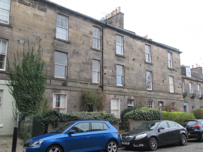
Entry Name: 2, 4, 6 St Bernard's Row, Edinburgh
Listing Name: Raeburn Place 2-14 and 2, 4, 6 St Bernard's Row
Listing Date: 27 October 1965
Category: B
Source: Historic Scotland
Source ID: 369640
Historic Scotland Designation Reference: LB29584
Building Class: Cultural
ID on this website: 200369640
Location: Edinburgh
County: Edinburgh
Town: Edinburgh
Electoral Ward: Inverleith
Traditional County: Midlothian
Tagged with: Architectural structure
Building 1820. 3-storey (attics in St Bernard's Row) ashlar.
Bow corner. Ground floor as shops and public house.
External links are from the relevant listing authority and, where applicable, Wikidata. Wikidata IDs may be related buildings as well as this specific building. If you want to add or update a link, you will need to do so by editing the Wikidata entry.


Other nearby listed buildings
