Approximate Location Map
Large Map »
Latitude: 55.9206 / 55°55'14"N
Longitude: -3.302 / 3°18'7"W
OS Eastings: 318728
OS Northings: 670493
OS Grid: NT187704
Mapcode National: GBR 24.ZVHG
Mapcode Global: WH6SR.7GW0
Plus Code: 9C7RWMCX+75
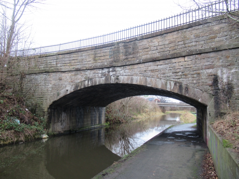
Entry Name: Edinburgh, Calder Road Bridge, Union Canal
Listing Name: Union Canal Calder Road Bridge
Listing Date: 29 April 1977
Category: B
Source: Historic Scotland
Source ID: 370782
Historic Scotland Designation Reference: LB30039
Building Class: Cultural
ID on this website: 200370782
Location: Edinburgh
County: Edinburgh
Town: Edinburgh
Electoral Ward: Pentland Hills
Traditional County: Midlothian
Tagged with: Road bridge
Hugh Baird 1818-22. Single segmental skew arch with
numbered keyblocks. Coursed rubble. Wider than other
bridges at 30' over the parapets.
(no 8 bridge).
External links are from the relevant listing authority and, where applicable, Wikidata. Wikidata IDs may be related buildings as well as this specific building. If you want to add or update a link, you will need to do so by editing the Wikidata entry.


Other nearby listed buildings
