Approximate Location Map
Large Map »
Latitude: 56.189 / 56°11'20"N
Longitude: -2.8163 / 2°48'58"W
OS Eastings: 349434
OS Northings: 699897
OS Grid: NT494998
Mapcode National: GBR 2Q.G36W
Mapcode Global: WH7SR.QP3T
Plus Code: 9C8V55QM+JF
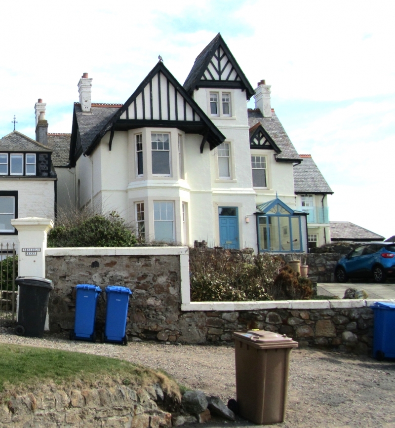
Entry Name: Eastfield, The Toft, Elie
Listing Name: Elie Eastfield the Toft
Listing Date: 8 January 1980
Category: B
Source: Historic Scotland
Source ID: 372233
Historic Scotland Designation Reference: LB31042
Building Class: Cultural
ID on this website: 200372233
Location: Elie and Earlsferry
County: Fife
Town: Elie And Earlsferry
Electoral Ward: East Neuk and Landward
Traditional County: Fife
Tagged with: Architectural structure
Early 19th century. Two-storey 3-window coursed rubble with
painted margins at ground floor and droved dressings at 1st
slightly later 1-window piend roofed wing; pantiled with
slate skirting.
External links are from the relevant listing authority and, where applicable, Wikidata. Wikidata IDs may be related buildings as well as this specific building. If you want to add or update a link, you will need to do so by editing the Wikidata entry.


Other nearby listed buildings
