Approximate Location Map
Large Map »
Latitude: 56.2535 / 56°15'12"N
Longitude: -3.2073 / 3°12'26"W
OS Eastings: 325295
OS Northings: 707431
OS Grid: NO252074
Mapcode National: GBR 27.9ZB7
Mapcode Global: WH6R7.P2XT
Plus Code: 9C8R7Q3V+93
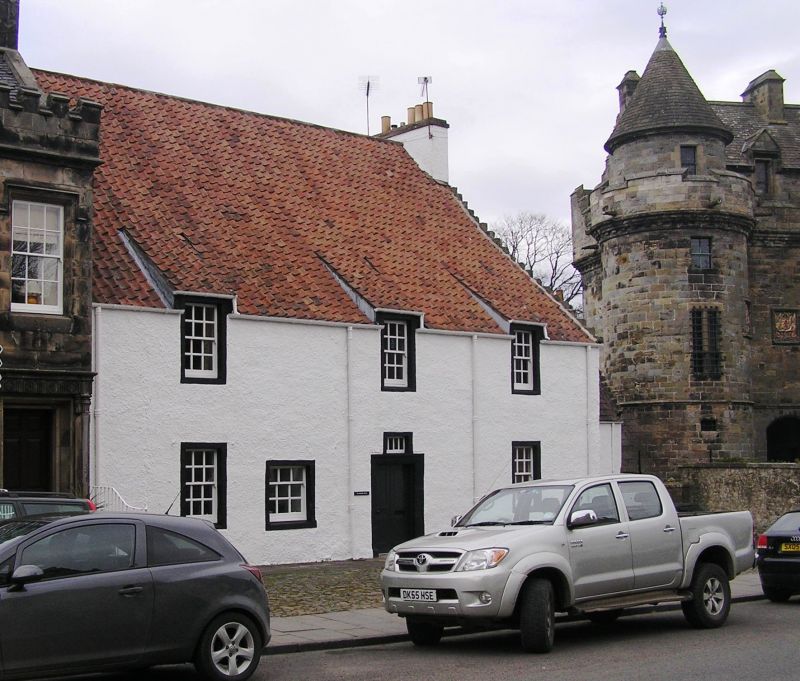
Entry Name: St Andrew House, High Street, Falkland
Listing Name: St Andrew House High Street (Including Garden Walls)
Listing Date: 1 December 1971
Category: B
Source: Historic Scotland
Source ID: 372483
Historic Scotland Designation Reference: LB31257
Building Class: Cultural
ID on this website: 200372483
Location: Falkland
County: Fife
Town: Falkland
Electoral Ward: Howe of Fife and Tay Coast
Traditional County: Fife
Tagged with: House
18th century, 2 sections, low 2-storey stepped in slope, harled and pantiled. Crowstepped gable, one with pigeon loft entries 18th century 2-storey to front, 3 (higher wallhead) at back, whitewashed hall with painted margins, pantiled; moulded doorpiece, 3 windows with swift dormer heads at 1st floor.
Category A section of larger group. Cobbled Area in front.
External links are from the relevant listing authority and, where applicable, Wikidata. Wikidata IDs may be related buildings as well as this specific building. If you want to add or update a link, you will need to do so by editing the Wikidata entry.


Other nearby listed buildings
