Approximate Location Map
Large Map »
Latitude: 55.9545 / 55°57'16"N
Longitude: -2.7698 / 2°46'11"W
OS Eastings: 352029
OS Northings: 673760
OS Grid: NT520737
Mapcode National: GBR 2S.XTZ5
Mapcode Global: WH7TY.FL8L
Plus Code: 9C7VX63J+Q3
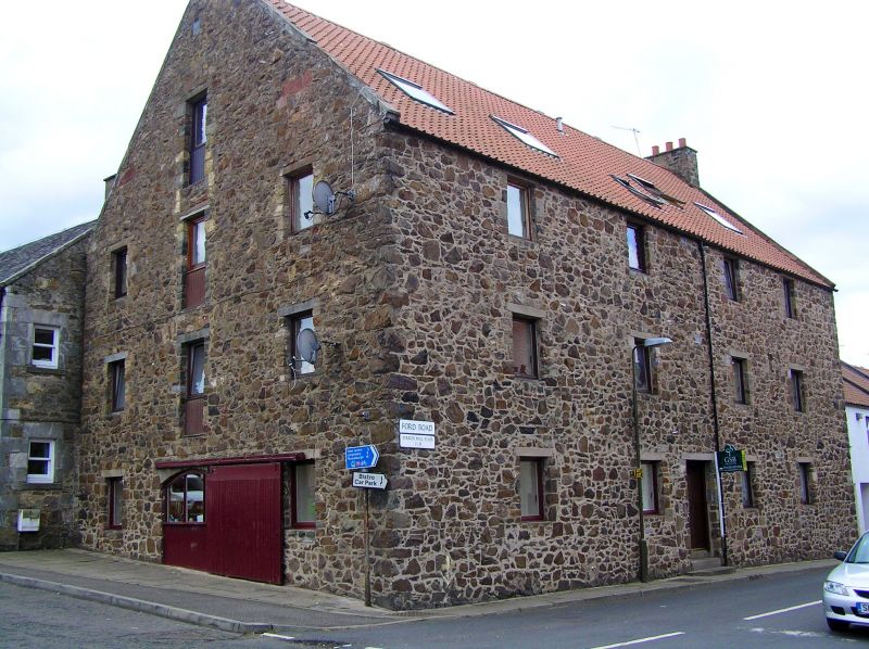
Entry Name: Granary, Ford Road, Haddington
Listing Name: Granary Ford Road
Listing Date: 5 February 1971
Category: C
Source: Historic Scotland
Source ID: 378664
Historic Scotland Designation Reference: LB34418
Building Class: Cultural
ID on this website: 200378664
Location: Haddington
County: East Lothian
Town: Haddington
Electoral Ward: Haddington and Lammermuir
Traditional County: East Lothian
Tagged with: Granary
18th century, 3-storey warehouse; random rubble with pantiled
roof; 4 window floors; irregular fenestration and segmental
arch at east gable.
External links are from the relevant listing authority and, where applicable, Wikidata. Wikidata IDs may be related buildings as well as this specific building. If you want to add or update a link, you will need to do so by editing the Wikidata entry.


Other nearby listed buildings
