Approximate Location Map
Large Map »
Latitude: 56.214 / 56°12'50"N
Longitude: -2.7282 / 2°43'41"W
OS Eastings: 354930
OS Northings: 702618
OS Grid: NO549026
Mapcode National: GBR 2T.DK0J
Mapcode Global: WH7ST.223L
Plus Code: 9C8V677C+HP
Entry Name: Churchyard, Parish Church And Tolbooth Steeple, High Street, Pittenweem
Listing Name: Churchyard Walls and Gravestones
Listing Date: 18 August 1972
Category: B
Source: Historic Scotland
Source ID: 385744
Historic Scotland Designation Reference: LB39870
Building Class: Cultural
ID on this website: 200385744
Location: Pittenweem
County: Fife
Town: Pittenweem
Electoral Ward: East Neuk and Landward
Traditional County: Fife
Tagged with: Cemetery
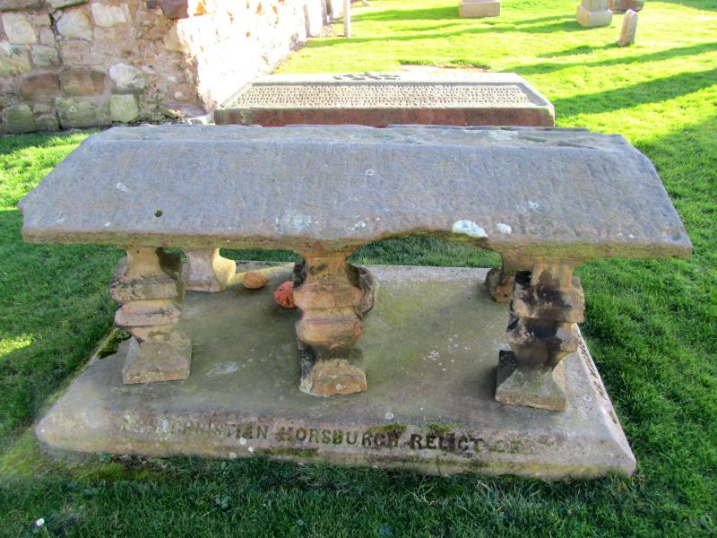
Walls various periods to 1882 including fragments of Priory wall, renaissance monument on north wall. Other monuments mainly 19th century date but some good tabletombs.
External links are from the relevant listing authority and, where applicable, Wikidata. Wikidata IDs may be related buildings as well as this specific building. If you want to add or update a link, you will need to do so by editing the Wikidata entry.


Other nearby listed buildings
