Approximate Location Map
Large Map »
Latitude: 56.3398 / 56°20'23"N
Longitude: -2.7908 / 2°47'26"W
OS Eastings: 351211
OS Northings: 716667
OS Grid: NO512166
Mapcode National: GBR 2R.4GZF
Mapcode Global: WH7S0.3XB5
Plus Code: 9C8V86Q5+WM
Entry Name: 19 South Street, St Andrews
Listing Name: 19 South Street.
Listing Date: 28 April 1959
Category: B
Source: Historic Scotland
Source ID: 386557
Historic Scotland Designation Reference: LB40607
Building Class: Cultural
ID on this website: 200386557
Location: St Andrews
County: Fife
Town: St Andrews
Electoral Ward: St Andrews
Traditional County: Fife
Tagged with: Building
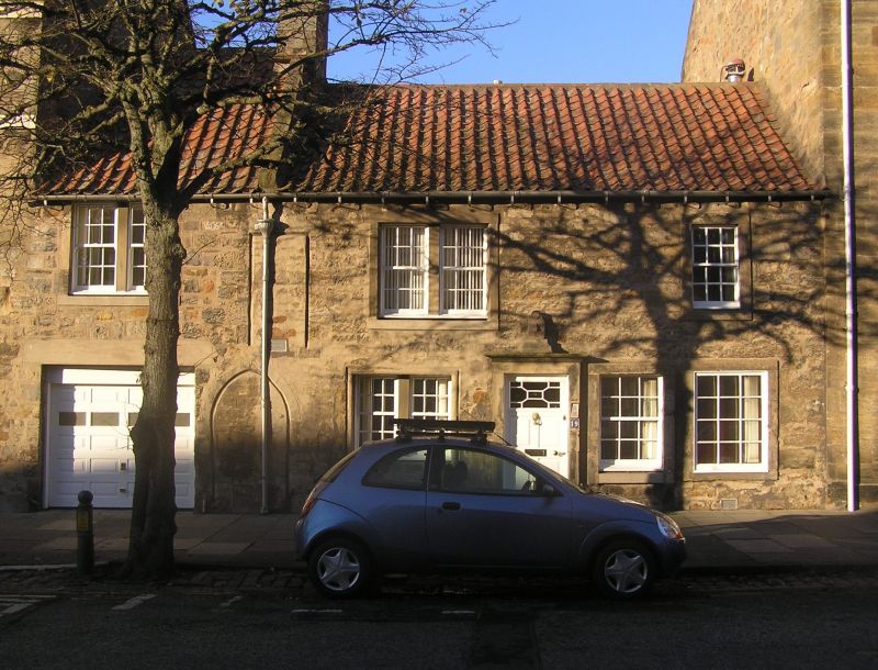
Mediaeval origin with built-up gothic doorway. Greatly
altered, renovated 1935; 2-storey rubble and pantile; garage
inserted. 1735 sundial over door brought here 1935 from
Airth.
External links are from the relevant listing authority and, where applicable, Wikidata. Wikidata IDs may be related buildings as well as this specific building. If you want to add or update a link, you will need to do so by editing the Wikidata entry.


Other nearby listed buildings
