Approximate Location Map
Large Map »
Latitude: 56.3398 / 56°20'23"N
Longitude: -2.7937 / 2°47'37"W
OS Eastings: 351031
OS Northings: 716663
OS Grid: NO510166
Mapcode National: GBR 2R.4G9M
Mapcode Global: WH7S0.1XY7
Plus Code: 9C8V86Q4+WG
Entry Name: 71 South Street, St Andrews
Listing Name: 71 South Street.
Listing Date: 28 April 1959
Category: A
Source: Historic Scotland
Source ID: 386576
Historic Scotland Designation Reference: LB40624
Building Class: Cultural
Also known as: St Andrews, 71 South Street
ID on this website: 200386576
Location: St Andrews
County: Fife
Town: St Andrews
Electoral Ward: St Andrews
Traditional County: Fife
Tagged with: House
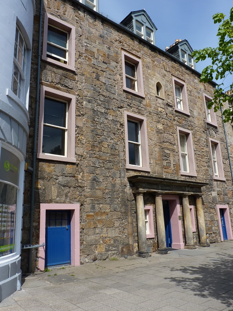
16th-17th century, remodelled 18th cent. 3-storey and attic; 4-window front with 4-column Roman doric entrance portico; considerable remains of older openings in frontage; rubble and slate with 3 gabled dormers; vaulted ground floor and 2 crowstepped wings at back.
External links are from the relevant listing authority and, where applicable, Wikidata. Wikidata IDs may be related buildings as well as this specific building. If you want to add or update a link, you will need to do so by editing the Wikidata entry.


Other nearby listed buildings
