Approximate Location Map
Large Map »
Latitude: 56.1214 / 56°7'17"N
Longitude: -3.945 / 3°56'42"W
OS Eastings: 279175
OS Northings: 693778
OS Grid: NS791937
Mapcode National: GBR 1C.L7PK
Mapcode Global: WH4P6.CDNL
Plus Code: 9C8R43C3+HX
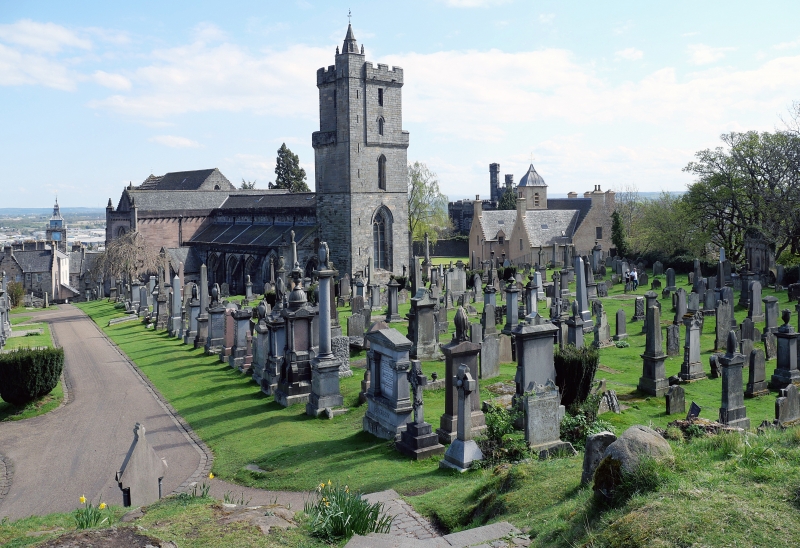
Entry Name: Burial-Ground, Church Of The Holy Rude, St John Street, Stirling
Listing Name: Church of the Holy-Rood Churchyard
Listing Date: 4 November 1965
Category: A
Source: Historic Scotland
Source ID: 387179
Historic Scotland Designation Reference: LB41084
Building Class: Cultural
Also known as: Church of Holy Rude
Church of the Holy Rude
Stirling, St John Street, Church Of The Holy Rude
ID on this website: 200387179
Location: Stirling
County: Stirling
Town: Stirling
Electoral Ward: Stirling North
Traditional County: Stirlingshire
Tagged with: Church building Cemetery
Fine collection of monuments from 1579. Large Sconce family
monument flanked by coupled columns originally erected to
Provost McCulloch 1689.
External links are from the relevant listing authority and, where applicable, Wikidata. Wikidata IDs may be related buildings as well as this specific building. If you want to add or update a link, you will need to do so by editing the Wikidata entry.


Other nearby listed buildings
