Approximate Location Map
Large Map »
Latitude: 56.1401 / 56°8'24"N
Longitude: -3.9225 / 3°55'20"W
OS Eastings: 280636
OS Northings: 695819
OS Grid: NS806958
Mapcode National: GBR 1D.K0RV
Mapcode Global: WH4P0.QXCT
Plus Code: 9C8R43RH+22
Entry Name: 18 Hillfoots Road, Stirling
Listing Name: Hillfoots Road 12-18
Listing Date: 4 November 1965
Category: B
Source: Historic Scotland
Source ID: 387509
Historic Scotland Designation Reference: LB41316
Building Class: Cultural
ID on this website: 200387509
Location: Stirling
County: Stirling
Town: Stirling
Electoral Ward: Stirling North
Traditional County: Stirlingshire
Tagged with: Architectural structure
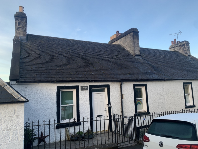
Late 18th/early 19th century.
2-storey and attic, harled, whitewashed, painted margins;
4-window and 2-door on N front entered at 1st floor level:
4-window S front, 2 canted dormers. Slated roof.
External links are from the relevant listing authority and, where applicable, Wikidata. Wikidata IDs may be related buildings as well as this specific building. If you want to add or update a link, you will need to do so by editing the Wikidata entry.


Other nearby listed buildings
