Approximate Location Map
Large Map »
Latitude: 51.8944 / 51°53'39"N
Longitude: -3.2887 / 3°17'19"W
OS Eastings: 311419
OS Northings: 222546
OS Grid: SO114225
Mapcode National: GBR YT.QWCY
Mapcode Global: VH6C6.YN83
Plus Code: 9C3RVPV6+QG
Entry Name: Talybont Aqueduct (Monmouthshire and Brecon Canal)
Listing Date: 17 December 1998
Last Amended: 17 December 1998
Grade: II
Source: Cadw
Source ID: 21117
Building Class: Transport
ID on this website: 300021117
Location: In the centre of Talybont-on-Usk, NW of the White Hart Public House and spanning the Caerfanell River, a tributary of the River Usk.
County: Powys
Community: Talybont-on-Usk (Tal-y-bont ar Wysg)
Community: Talybont-on-Usk
Locality: Talybont on Usk
Built-Up Area: Talybont-on-Usk
Traditional County: Brecknockshire
Tagged with: Aqueduct
The Brecknock and Abergavenny Canal was promoted in 1792 to connect the upper Usk valley with the Monmouthshire Canal at Pontymoile and from there to the sea at Newport. First section, between Gilwern and Talybont, was cut between 1797 and 1799, with upper section between Talybont and Brecon opened in 1800, both sections engineered by Thomas Dadford. Lower section between Gilwern and Pontymoile completed 1812 and engineered by William Crosley. Linked to tramroads, the canal was an important artery for trade in iron, lime and coal. In 1865 the Brecknock and Abergavenny and the Monmouthshire Canals merged to become the Monmouthshire and Brecon Canal, which was later incorporated into the Great Western Railway. Many bridges had large cast iron weight restriction notices on poles erected at each end. Last toll was taken in 1933. Restoration of canal began 1964.
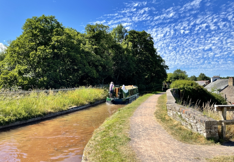
The aqueduct forms the N border of the Talybont Basin and carries the Canal high over the Caerfanell River with a sluice in the S part of the basin to the river. At canal level it appears as a low stone parapet with flat copings. The bridge is of sandstone rubble and spans the river with a wide segmental arch with dressed stone voussoirs, metal tie bars, curved abutments.
Listed for its special interest as an original aqueduct on the Brecknock and Abergavenny Canal.
Group value with other listed structures at Talybont.
External links are from the relevant listing authority and, where applicable, Wikidata. Wikidata IDs may be related buildings as well as this specific building. If you want to add or update a link, you will need to do so by editing the Wikidata entry.


Other nearby listed buildings
