Approximate Location Map
Large Map »
Latitude: 51.4859 / 51°29'9"N
Longitude: -3.6163 / 3°36'58"W
OS Eastings: 287872
OS Northings: 177566
OS Grid: SS878775
Mapcode National: GBR HB.KR3H
Mapcode Global: VH5HJ.8XL9
Plus Code: 9C3RF9PM+9F
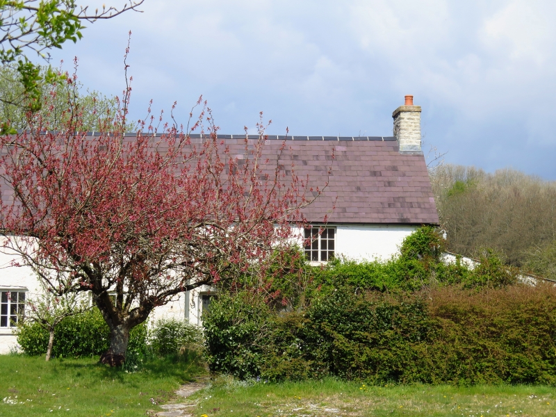
Entry Name: Ton Farm Cottage
Listing Date: 29 January 1999
Last Amended: 29 January 1999
Grade: II
Source: Cadw
Source ID: 21237
Building Class: Domestic
ID on this website: 300021237
Location: Approximately 400m W of Merthyr Mawr church, set back from N side of a minor road from Merthyr Mawr village to Merthyr Mawr Warren.
County: Bridgend
Community: Merthyr Mawr
Community: Merthyr Mawr
Locality: Ton Farm
Traditional County: Glamorgan
Tagged with: Cottage
In the rear wall is a blocked Tudor-headed doorway to the stair, housed in a projection which survives inside a lately added lean-to. The stairway has stone treads, a small stair light and a cross-slab roof. The roof of the house retains a central truss with curved-foot principals.
Ton Farm and Ton Farm Cottage are included as a sub-medieval farmhouse retaining early plan form and detail.
External links are from the relevant listing authority and, where applicable, Wikidata. Wikidata IDs may be related buildings as well as this specific building. If you want to add or update a link, you will need to do so by editing the Wikidata entry.


Other nearby listed buildings
