Approximate Location Map
Large Map »
Latitude: 51.6362 / 51°38'10"N
Longitude: -3.8421 / 3°50'31"W
OS Eastings: 272612
OS Northings: 194649
OS Grid: SS726946
Mapcode National: GBR H1.829J
Mapcode Global: VH4KC.C45J
Plus Code: 9C3RJ5P5+F5
Entry Name: River Lock and attached bridges at Red Jacket Pill
Listing Date: 29 March 2000
Last Amended: 29 March 2000
Grade: II
Source: Cadw
Source ID: 23074
Building Class: Transport
ID on this website: 300023074
Location: Beside a footpath on the E side of the Tennant Canal, S of the Jersey Marine Gas Works and W of the M4.
County: Neath Port Talbot
Community: Coedffranc (Coed-ffranc)
Community: Coedffranc
Locality: Red Jacket Pill
Traditional County: Glamorgan
Tagged with: Lock
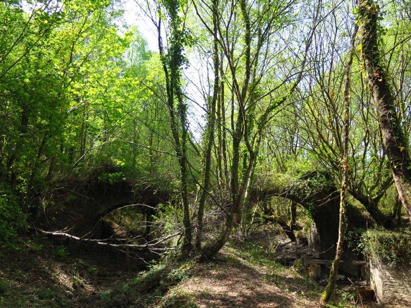
A barge lock constructed in 1817-18 by the engineer William Kirkhouse. It allowed vessels of up to 61 tonnes to lock out of the River Neath and reach Swansea by means of a canal cut in the 1780s that was superseded by the Tennant Canal, which opened in 1824.
The lock chamber is composed of coursed rubble stone with large dressed coping stones. At the narrower NE (river) end are rebates for the lock gates, that survive partly in situ. Beyond the gates the walls curve outwards and terminate, with a later copper-slag wall added on the S side. The SW (canal) end of the lock chamber is similar, with rebates and the partial survival of the lock gates. Beyond the lock gates is a 2-span rubble-stone bridge with segmental arch ring above the entrance to the lock and a second arch on the S side over the canal built in the 1780s, of which a canal-side wall survives in part. Beyond the lock gates the lock walls curve outwards as they do on the NE side. A later rubble stone revetment is on the N side. The bridge retains its parapet with copper-slag coping only partly on the N side. On the SE side the parapet, with copper-slag coping, curves outwards and uphill. The deck is missing from the bridge and is covered with vegetation.
Listed for industrial archaeological interest as a well-preserved early river lock.
External links are from the relevant listing authority and, where applicable, Wikidata. Wikidata IDs may be related buildings as well as this specific building. If you want to add or update a link, you will need to do so by editing the Wikidata entry.


Other nearby listed buildings
