Approximate Location Map
Large Map »
Latitude: 51.6363 / 51°38'10"N
Longitude: -3.8451 / 3°50'42"W
OS Eastings: 272404
OS Northings: 194667
OS Grid: SS724946
Mapcode National: GBR H1.81K4
Mapcode Global: VH4KC.94LF
Plus Code: 9C3RJ5P3+GW
Entry Name: Weir on E side of Tennant Canal at Red Jacket Pill
Listing Date: 29 March 2000
Last Amended: 29 March 2000
Grade: II
Source: Cadw
Source ID: 23077
Building Class: Transport
ID on this website: 300023077
Location: At Red Jacket Pill on N side of a modern concrete weir and immediately S of SW corner of gas works.
County: Neath Port Talbot
Community: Coedffranc (Coed-ffranc)
Community: Coedffranc
Locality: Red Jacket Pill
Traditional County: Glamorgan
Tagged with: Architectural structure
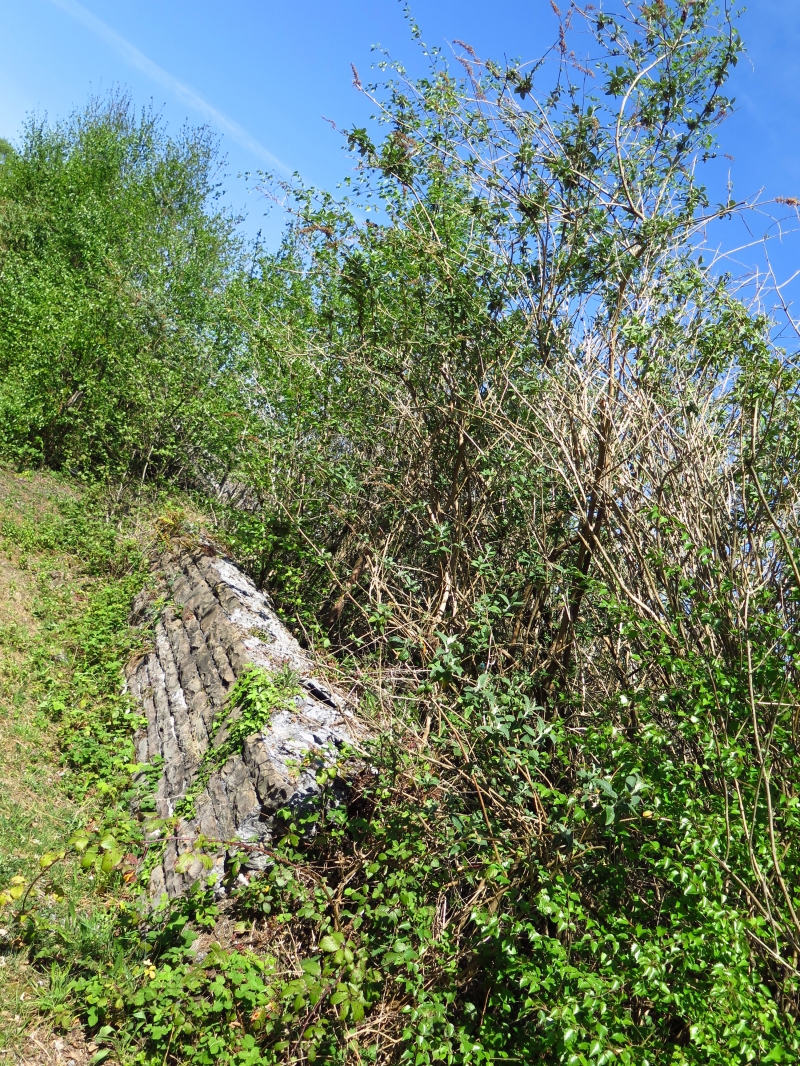
The Tennant Canal was built 1820-4, engineered by William Kirkhouse. The head of the canal was at Aberdulais, where it joins the Neath Canal, and ended at Port Tennant on the E side of the River Tawe in Swansea. Traffic was carried on the canal until 1930s. The weir, constructed to carry off excess water and prevent the canal bursting its banks, is within a raised section of canal embanked across marshy ground.
The top of the weir is approximately 5m long and water is channelled from the canal through 6 shallow segmental-arched culverts below the towpath. The arches are of dressed sandstone with the core stonework of the culverts visible on the upper surface, but with a concrete coping added on the canal side. On E side is a short cascade of stepped stonework. Its flanking walls survive only in part, having been mainly washed away, and are of rubble stone with flat dressed copings.
Listed for industrial archaeological interest as an original built component of the Tennant Canal and for group value with other structures associated with the canal.
External links are from the relevant listing authority and, where applicable, Wikidata. Wikidata IDs may be related buildings as well as this specific building. If you want to add or update a link, you will need to do so by editing the Wikidata entry.


Other nearby listed buildings
