Approximate Location Map
Large Map »
Latitude: 51.5912 / 51°35'28"N
Longitude: -2.7265 / 2°43'35"W
OS Eastings: 349769
OS Northings: 188293
OS Grid: ST497882
Mapcode National: GBR JK.BT2D
Mapcode Global: VH87Z.P8HH
Plus Code: 9C3VH7RF+FC
Entry Name: Garden Walls of Underwood
Listing Date: 20 September 2000
Last Amended: 20 September 2000
Grade: II
Source: Cadw
Source ID: 24006
Building Class: Domestic
ID on this website: 300024006
Location: In Crick Road about 50m north of the junction with Main Road.
County: Monmouthshire
Town: Newport
Community: Portskewett (Porth Sgiwed)
Community: Portskewett
Built-Up Area: Cil-y-coed
Traditional County: Monmouthshire
Tagged with: Wall
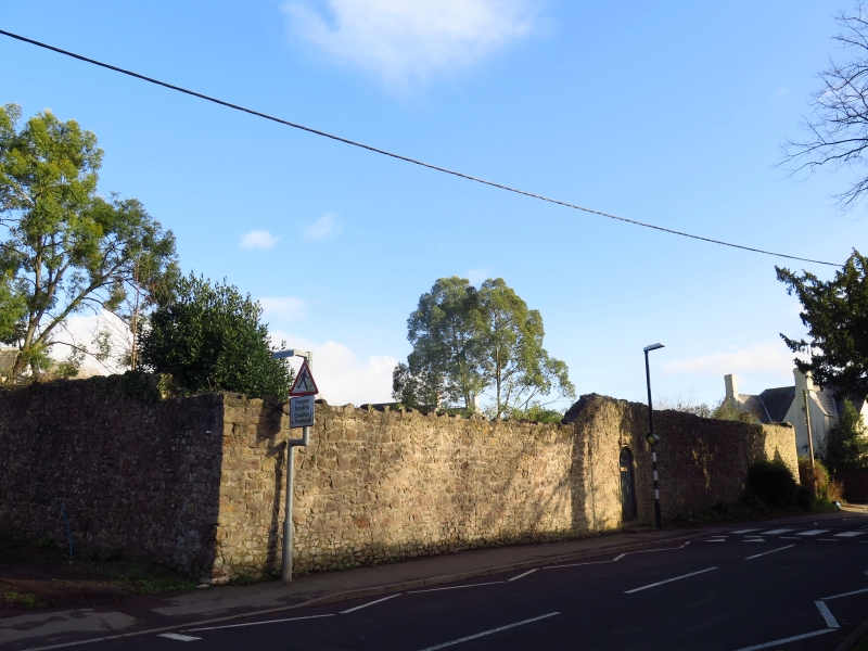
This is the wall of an C18 walled garden which once belonged to the nearby Rectory (qv The Old Rectory). It now encloses an early C20 house.
Wall of roughly coursed limestone rubble which is about 2.5-2.75m in height. It forms a rectangle of about 40 x 60m.
Included for its strong group value with The Old Rectory and Manor Farmhouse which both stand close by.
External links are from the relevant listing authority and, where applicable, Wikidata. Wikidata IDs may be related buildings as well as this specific building. If you want to add or update a link, you will need to do so by editing the Wikidata entry.


Other nearby listed buildings
